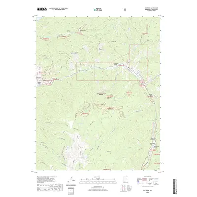
2020 Map of Red River
USGS Topo · Published 2020About this map
Red River occupies a narrow mountain valley within the Carson National Forest, where the landscape is defined by the high peaks of the Sangre de Cristo Mountains. This modern survey illustrates the enduring legacy of mining and outdoor recreation in Taos County, with the notable Moly site and an area of Exploration marking industrial footprints north of the river. The topography is exceptionally steep, characterized by numerous drainages such as Graveyard Canyon and Bitter Cr that feed into the main waterway. High-altitude landmarks like Gold Hill and Goose Lake are accessible via established routes like Trail 195 and the Placer Fork Shortcut. Natural features like Elephant Rock and the Fawn Lakes cluster highlight the area's geological diversity, while water sources such as Cabresto Lake and Chambers Spring emphasize the vital hydrology of these high basins.
Find a feature on this map
43 named features on this map. Tap any name to fly to it.
Don’t see what you’re looking for? This feature index may not catch every label — zoom into the map to look around manually.
Map Details
Editions of this 2020 Red River Map
This is the sole edition of this map. No revisions or reprints were ever made.
Other maps of this area

1954 · Raton
USGS Topo · 1:250,000

1958 · Raton
USGS Topo · 1:250,000

1963 · Wheeler Peak
USGS Topo · 1:24,000

1963 · Eagle Nest
USGS Topo · 1:24,000

1963 · Arroyo Seco
USGS Topo · 1:24,000

1963 · Red River Pass
USGS Topo · 1:24,000

1963 · Cerro
USGS Topo · 1:24,000

1963 · Questa
USGS Topo · 1:24,000

1963 · Latir Peak
USGS Topo · 1:24,000

1963 · Comanche Point
USGS Topo · 1:24,000