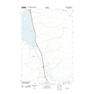
2011 Map of Red Rock
USGS Topo · Published 2011About this map
Clark Canyon Reservoir dominates this high-plains landscape in Beaverhead County, Montana, where the Clark Canyon Dam regulates the headwaters of the regional watershed. This area serves as a significant recreational and transportation corridor, with Interstate 15 and Red Rock Rd N tracing the shoreline and the path of the Red Rock River. The map details a series of recreational sites including Beaverhead Campground, Lonetree Campground, and a Fishing Access Campground, indicating the area's importance for modern outdoor tourism.
Find a feature on this map
18 named features on this map. Tap any name to fly to it.
Don’t see what you’re looking for? This feature index may not catch every label — zoom into the map to look around manually.
Map Details
Editions of this 2011 Red Rock Map
This is the sole edition of this map. No revisions or reprints were ever made.
Other maps of this area

1893 · Dillon
USGS Topo · 1:250,000

1952 · Eli Spring
USGS Topo · 1:24,000

1952 · Dalys
USGS Topo · 1:24,000

1952 · Gallagher Mountain
USGS Topo · 1:24,000

1955 · Dubois
USGS Topo · 1:250,000

1955 · Dillon
USGS Topo · 1:250,000

1957 · Dillon
USGS Topo · 1:250,000

1958 · Dubois
USGS Topo · 1:250,000

1958 · Dillon
USGS Topo · 1:250,000

1962 · Dillon
USGS Topo · 1:250,000