
1955 Map of Red Rock Canyon
USGS Topo · Published 1957About this map
Black Canyon of the Gunnison National Monument dominates this mid-century survey, showcasing the dramatic verticality of the Gunnison River gorge as it appeared in the 1950s. The map details the intricate topography of Red Rock Canyon and the Red Rocks formation, where the elevation drops sharply from the high rims of North Mesa and Flat Top toward the canyon floor. At the river's edge, the State Tunnel Dam stands as a focal point of water management, supported by a network of terrestrial features like the Ditch system in Bostwick Park. Local history is preserved through labels for the Mine (abandoned) and the Warner Point overlook. The proximity of Pleasant Park and Green Mountain to the Monument Boundary illustrates the tension between the preserved wilderness of the canyon and the agrarian landscape of the surrounding mesas.
Find a feature on this map
20 named features on this map. Tap any name to fly to it.
Don’t see what you’re looking for? This feature index may not catch every label — zoom into the map to look around manually.
Map Details
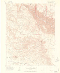
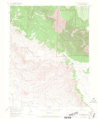
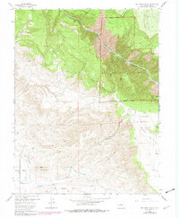
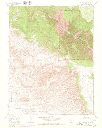
Editions of this 1955 Red Rock Canyon Map
5 editions found
Other maps of this area

1909 · Montrose
USGS Topo · 1:125,000

1911 · Montrose
USGS Topo · 1:125,000

1955 · Olathe NW
USGS Topo · 1:24,000

1955 · Black Ridge
USGS Topo · 1:24,000

1955 · Olathe
USGS Topo · 1:24,000

1956 · Montrose
USGS Topo · 1:250,000

1957 · Cerro Summit
USGS Topo · 1:24,000

1957 · Grizzly Ridge
USGS Topo · 1:24,000

1959 · Montrose
USGS Topo · 1:250,000

1960 · Montrose
USGS Topo · 1:250,000