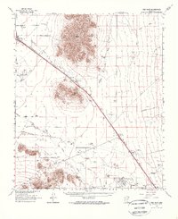
1963 Map of Red Rock
USGS Topo · Published 1971About this map
The Southern Pacific railroad corridor serves as the primary artery through this desert landscape, linking the settlements of Picacho, Wymola, and Red Rock. This era of the mid-twentieth century highlights an economy transitioning between traditional ranching and modern infrastructure. Numerous family-named homesteads and agricultural operations like La Osa Ranch, Kemper Ranch, and Thompson Dairy are scattered near the Santa Cruz River and Greene Canal, while the industrial footprint of the Saguaro Power Plant and Marana Air Park signals the growth of the Sun Corridor. Of particular interest to local historians is the Historical Marker at Picacho Pass, noting the site's significance near the base of Picacho Peak. Remote operations such as the Gold Bell Mine on Newman Peak and several Cem locations provide specific data points for genealogists and researchers tracking the Pinal and Pima county borderlands.
Find a feature on this map
40 named features on this map. Tap any name to fly to it.
Don’t see what you’re looking for? This feature index may not catch every label — zoom into the map to look around manually.
Map Details
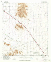
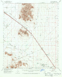
Editions of this 1963 Red Rock Map
3 editions found
Other maps of this area

1922 · Red Rock No 2
USGS Topo · 1:48,000

1922 · Signal Peak
USGS Topo · 1:62,500

1924 · Signal Peak
USGS Topo · 1:62,500

1934 · Tucson Mountains
USGS Topo · 1:125,000

1934 · Silver Bell
USGS Topo · 1:125,000

1934 · Newman Peak
USGS Topo · 1:125,000

1947 · Cortaro
USGS Topo · 1:62,500

1947 · Red Rock
USGS Topo · 1:62,500

1947 · Eloy
USGS Topo · 1:62,500

1948 · Eloy
USGS Topo · 1:62,500