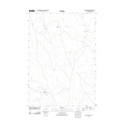
2012 Map of Red Scaffold
USGS Topo · Published 2012About this map
Red Scaffold anchors this corner of Ziebach County, positioned at the southern terminus of Arrow Head Rd where it meets Bia Hwy 6. The landscape is defined by the drainages of Red Scaffold Cr and Cherry Cr, while the northern terrain is marked by the prominent Staple Cliffs. This portion of South Dakota reflects a ranching-based economy, evidenced by established homesteads such as Red Coat Ranch and Budahl Ranch situated along the sprawling waters of Rattlesnake Cr.
Find a feature on this map
13 named features on this map. Tap any name to fly to it.
Don’t see what you’re looking for? This feature index may not catch every label — zoom into the map to look around manually.
Map Details
Editions of this 2012 Red Scaffold Map
This is the sole edition of this map. No revisions or reprints were ever made.
Other maps of this area

1954 · Pierre
USGS Topo · 1:250,000

1955 · Rattlesnake Lake
USGS Topo · 1:24,000

1958 · Pierre
USGS Topo · 1:250,000

1982 · Chasing Hawk Draw
USGS Topo · 1:24,000

1982 · Dead Horse Draw
USGS Topo · 1:24,000

1982 · Bull Creek 2 NE
USGS Topo · 1:24,000

1982 · Bridger NE
USGS Topo · 1:24,000

1982 · Bessie Butte
USGS Topo · 1:24,000

1982 · Red Scaffold
USGS Topo · 1:24,000

1982 · Longbrake Ranch
USGS Topo · 1:24,000