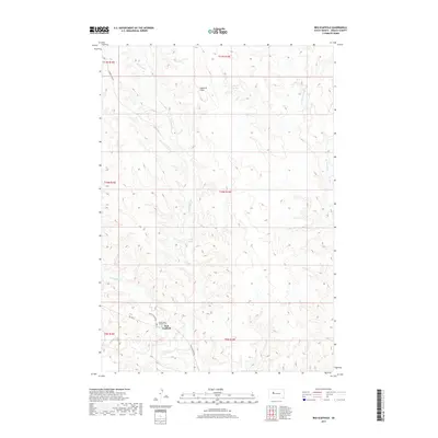
2017 Map of Red Scaffold
USGS Topo · Published 2017About this map
Red Scaffold serves as a central point in this prairie landscape, where the confluence of several seasonal waterways dictates the placement of roads and structures. The map traces the winding paths of Red Scaffold Cr and Cherry Cr as they cut through the Ziebach County terrain. Near the settlement, the Sacred Heart Catholic Cem stands as a focal point for genealogical interest, located just off Bia Hwy 6 and White Wolf RC Rd.
Find a feature on this map
20 named features on this map. Tap any name to fly to it.
Don’t see what you’re looking for? This feature index may not catch every label — zoom into the map to look around manually.
Map Details
Editions of this 2017 Red Scaffold Map
This is the sole edition of this map. No revisions or reprints were ever made.
Other maps of this area

1954 · Pierre
USGS Topo · 1:250,000

1955 · Rattlesnake Lake
USGS Topo · 1:24,000

1958 · Pierre
USGS Topo · 1:250,000

1982 · Chasing Hawk Draw
USGS Topo · 1:24,000

1982 · Dead Horse Draw
USGS Topo · 1:24,000

1982 · Bull Creek 2 NE
USGS Topo · 1:24,000

1982 · Bridger NE
USGS Topo · 1:24,000

1982 · Bessie Butte
USGS Topo · 1:24,000

1982 · Red Scaffold
USGS Topo · 1:24,000

1982 · Longbrake Ranch
USGS Topo · 1:24,000