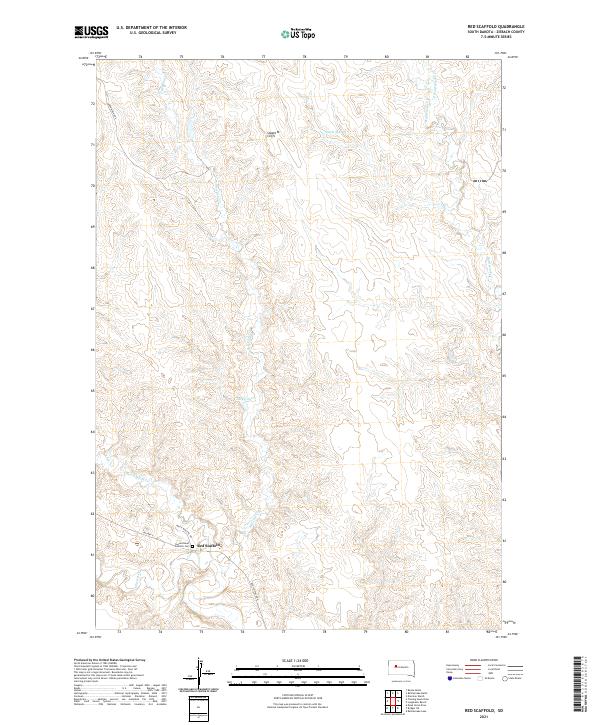
2021 Map of Red Scaffold
USGS Topo · Published 2021About this map
The settlement of Red Scaffold sits at the intersection of Bia Hwy 6 and Red Scaffold Rd, serving as a vital hub in the central plains of South Dakota. The landscape is defined by the winding course of Red Scaffold Creek and Cherry Creek, which dominate the southern portion of the survey. To the north, the terrain rises toward the Staple M Cliffs, a distinctive topographic break overlooking the drainages of Red Coat Creek and E Rattlesnake Creek. Local infrastructure is geared toward water management in this arid environment, evidenced by the Staple M Dam and Lacky Dam. For those researching local heritage, the Sacred Heart Catholic Cem is a primary landmark near the village, while roads like White Wolf Rc Rd provide access through the complex network of draws and ridges.
Find a feature on this map
21 named features on this map. Tap any name to fly to it.
Don’t see what you’re looking for? This feature index may not catch every label — zoom into the map to look around manually.
Map Details
Editions of this 2021 Red Scaffold Map
This is the sole edition of this map. No revisions or reprints were ever made.
Other maps of this area

1954 · Pierre
USGS Topo · 1:250,000

1955 · Rattlesnake Lake
USGS Topo · 1:24,000

1958 · Pierre
USGS Topo · 1:250,000

1982 · Chasing Hawk Draw
USGS Topo · 1:24,000

1982 · Dead Horse Draw
USGS Topo · 1:24,000

1982 · Bull Creek 2 NE
USGS Topo · 1:24,000

1982 · Bridger NE
USGS Topo · 1:24,000

1982 · Bessie Butte
USGS Topo · 1:24,000

1982 · Red Scaffold
USGS Topo · 1:24,000

1982 · Longbrake Ranch
USGS Topo · 1:24,000