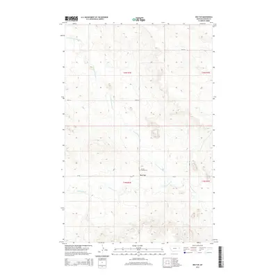
2014 Map of Red Top
USGS Topo · Published 2014About this map
Red Top serves as a small community focal point in Dawson County, where the plains of eastern Montana are etched by the winding drainages of the Missouri River watershed. The landscape is defined by the branching paths of N Fork Thirteenmile Cr and its parent stream, Thirteenmile Cr, which carve through the undulating prairie terrain. This 2014 survey documents the enduring presence of local heritage through the Red Top Mennonite Cem, a significant marker for genealogists and local historians studying the region's religious and settlement history. The map detail reflects a rural infrastructure based on a grid of section lines and gravel routes such as Road 524 and Cr-532, which connect isolated homesteads and ranching operations across the townships of t20n r54e and t19n r54e.
Find a feature on this map
14 named features on this map. Tap any name to fly to it.
Don’t see what you’re looking for? This feature index may not catch every label — zoom into the map to look around manually.
Map Details
Editions of this 2014 Red Top Map
This is the sole edition of this map. No revisions or reprints were ever made.
Other maps of this area

1909 · Glendive
USGS Topo · 1:250,000

1954 · Glendive
USGS Topo · 1:250,000

1957 · Glendive
USGS Topo · 1:250,000

1958 · Glendive
USGS Topo · 1:250,000

1966 · Kolberg Ranch
USGS Topo · 1:24,000

1966 · Intake NW
USGS Topo · 1:24,000

1972 · Red Top
USGS Topo · 1:24,000

1972 · Butler Table
USGS Topo · 1:24,000

1972 · Morgan Creek School
USGS Topo · 1:24,000

1972 · Clay Butte
USGS Topo · 1:24,000