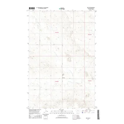
2017 Map of Red Top
USGS Topo · Published 2017About this map
Red Top anchors this Dawson County landscape, situated at a crossroad where local routes RD 532 and RD 523 meet. The area is characterized by the branching drainage systems of Thirteenmile Cr and the N Fork Thirteenmile Cr, which carve through the high plains. A significant site for local history and genealogy is the Red Top Mennonite Cem, located just north of the central settlement. The map reflects the enduring section-line road grid typical of eastern Montana, with named thoroughfares like RD 524 and RD 527 providing access across the township boundaries of t20n r54e and t19n r54e. This survey captures the sparse, rural nature of the region, where community life is centered around isolated religious and agricultural landmarks.
Find a feature on this map
12 named features on this map. Tap any name to fly to it.
Don’t see what you’re looking for? This feature index may not catch every label — zoom into the map to look around manually.
Map Details
Editions of this 2017 Red Top Map
This is the sole edition of this map. No revisions or reprints were ever made.
Other maps of this area

1909 · Glendive
USGS Topo · 1:250,000

1954 · Glendive
USGS Topo · 1:250,000

1957 · Glendive
USGS Topo · 1:250,000

1958 · Glendive
USGS Topo · 1:250,000

1966 · Kolberg Ranch
USGS Topo · 1:24,000

1966 · Intake NW
USGS Topo · 1:24,000

1972 · Red Top
USGS Topo · 1:24,000

1972 · Butler Table
USGS Topo · 1:24,000

1972 · Morgan Creek School
USGS Topo · 1:24,000

1972 · Clay Butte
USGS Topo · 1:24,000