
2003 Map of Red Top Mountain
USGS Topo · Published 2006About this map
Wenatchee National Forest encompasses the high-elevation drainage systems of the upper Yakima River basin in this detailed 2003 revision. The landscape is defined by the sharp rise of Teanaway Ridge, which separates the complex networks of the North Fork Teanaway River and South Fork Teanaway River. Centered on the namesake Red Top Mountain, the map reveals a wilderness area managed for both timber and recreation, anchored by the Guard Station near the river forks. Numerous seasonal and perennial watercourses like Jack Creek, Stafford Creek, and Indian Creek carve through the steep topography, reflecting the area's importance as a primary watershed. The map records the intersection of high mountain terrain with established Forest Service administrative boundaries and landmarks just north of the Fifth Standard Parallel North.
Find a feature on this map
28 named features on this map. Tap any name to fly to it.
Don’t see what you’re looking for? This feature index may not catch every label — zoom into the map to look around manually.
Map Details
Editions of this 2003 Red Top Mountain Map
This is the sole edition of this map. No revisions or reprints were ever made.
Other maps of this area

1897 · Mount Stuart
USGS Topo · 1:125,000

1902 · Mount Stuart
USGS Topo · 1:125,000

1957 · Wenatchee
USGS Topo · 1:250,000

1958 · Thorp
USGS Topo · 1:62,500

1958 · Cle Elum
USGS Topo · 1:62,500

1961 · Liberty
USGS Topo · 1:62,500

1961 · Mount Stuart
USGS Topo · 1:62,500

1975 · Wenatchee
USGS Topo · 1:100,000
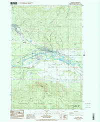
1984 · Cle Elum
USGS Topo · 1:24,000
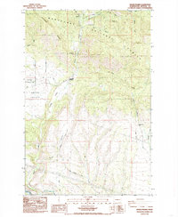
1985 · Swauk Prairie
USGS Topo · 1:24,000