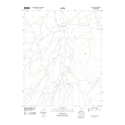
2010 Map of Red Valley
USGS Topo · Published 2010About this map
Redrock Valley defines this section of the Shiprock Agency near the Arizona and New Mexico border, where a network of tribal routes connects the community of Red Rock. The landscape is a complex drainage system dominated by Standing Redrock Creek, Red Wash, and Little Shiprock Wash. Notable for local history and commerce is the Red Rock Trading Post, situated at a crossroads of Indian Rte-63 and Indian Rte-33. The geography is further punctuated by distinctive formations like The Thumb and White Rock, while evidence of resource extraction appears at the Rocky Spring Mine. This survey illustrates the modern road infrastructure, including Kerr McGee Rd and the Red Rock Hwy, which serves this high-desert region.
Find a feature on this map
21 named features on this map. Tap any name to fly to it.
Don’t see what you’re looking for? This feature index may not catch every label — zoom into the map to look around manually.
Map Details
Editions of this 2010 Red Valley Map
This is the sole edition of this map. No revisions or reprints were ever made.
Other maps of this area

1889 · Chaco
USGS Topo · 1:250,000

1892 · Chaco
USGS Topo · 1:250,000

1892 · Canyon De Chelly
USGS Topo · 1:250,000

1934 · Ship Rock
USGS Topo · 1:62,500

1937 · Ship Rock
USGS Topo · 1:62,500

1953 · Sanostee
USGS Topo · 1:62,500

1953 · Redrock Valley NE
USGS Topo · 1:24,000

1953 · Redrock Valley SE
USGS Topo · 1:24,000

1953 · Redrock Valley SW
USGS Topo · 1:24,000

1953 · Redrock Valley NW
USGS Topo · 1:24,000