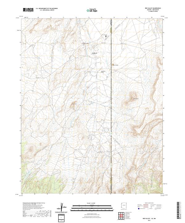
2021 Map of Red Valley
USGS Topo · Published 2021About this map
The Chuska Mountains rise along the Arizona and New Mexico border, defining a high-desert landscape centered on the Navajo Nation. This 2021 survey illustrates the rural infrastructure of Red Rock and Beclabito, where life revolves around traditional routes and water sources. A network of Bureau of Indian Affairs roads, such as Indian Rte 13 and Indian Rte 33, connects these communities across the arid flats of Red Rock Valley.
Find a feature on this map
36 named features on this map. Tap any name to fly to it.
Don’t see what you’re looking for? This feature index may not catch every label — zoom into the map to look around manually.
Map Details
Editions of this 2021 Red Valley Map
This is the sole edition of this map. No revisions or reprints were ever made.
Other maps of this area

1889 · Chaco
USGS Topo · 1:250,000

1892 · Chaco
USGS Topo · 1:250,000

1892 · Canyon De Chelly
USGS Topo · 1:250,000

1934 · Ship Rock
USGS Topo · 1:62,500

1937 · Ship Rock
USGS Topo · 1:62,500

1953 · Sanostee
USGS Topo · 1:62,500

1953 · Redrock Valley NE
USGS Topo · 1:24,000

1953 · Redrock Valley SE
USGS Topo · 1:24,000

1953 · Redrock Valley SW
USGS Topo · 1:24,000

1953 · Redrock Valley NW
USGS Topo · 1:24,000