
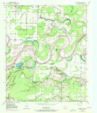
1950 Map of Redbank
USGS Topo · Published 1954About this map
The Red River creates a meandering natural border between Texas and Arkansas on this mid-century survey, defining the landscape through a complex network of oxbow lakes and sloughs. Settled life in the Black Bottom and the surrounding RICHLAND area is anchored by local institutions such as Elizabeth Academy Ch, the Vocational School, and several community churches including Cedar Springs Ch and Red Oak Grove Ch. The winding river path is marked by distinctive water bodies like Whaley Lake, Blue Lake, and Ector Lake, reflecting the shifting hydrology of the Bowie County borderlands.
Find a feature on this map
49 named features on this map. Tap any name to fly to it.
Don’t see what you’re looking for? This feature index may not catch every label — zoom into the map to look around manually.
Map Details
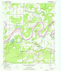
Editions of this 1950 Redbank Map
3 editions found
Other maps of this area

1909 · New Boston
USGS Topo · 1:62,500

1909 · Texarkana
USGS Topo · 1:62,500

1950 · Ashdown West
USGS Topo · 1:24,000

1950 · Barkman
USGS Topo · 1:24,000

1951 · Redbank
USGS Topo · 1:24,000

1951 · Ashdown West
USGS Topo · 1:24,000

1951 · Barkman
USGS Topo · 1:24,000

1951 · Arden
USGS Topo · 1:24,000

1951 · Foreman
USGS Topo · 1:24,000

1951 · Daniels Chapel
USGS Topo · 1:24,000