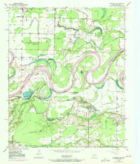
1950 Map of Redbank
USGS Topo · Published 1972About this map
Red River oxbows and the meandering Walnut Bayou define this borderland landscape between Texas and Arkansas. The intricate network of river-fed lakes, including La Voice Lake, Bow Lake, and Whaley Lake, illustrates a dynamic floodplain where the water has repeatedly carved and shifted its course. These natural features are surrounded by fertile lowlands like Black Bottom, which supported a dispersed rural community centered around several local congregations.
Find a feature on this map
45 named features on this map. Tap any name to fly to it.
Don’t see what you’re looking for? This feature index may not catch every label — zoom into the map to look around manually.
Map Details
Editions of this 1950 Redbank Map
3 editions found
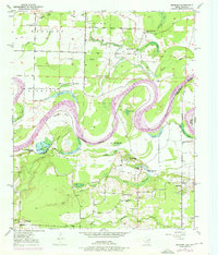
Other maps of this area

1909 · New Boston
USGS Topo · 1:62,500

1909 · Texarkana
USGS Topo · 1:62,500

1950 · Redbank
USGS Topo · 1:24,000

1950 · Ashdown West
USGS Topo · 1:24,000

1950 · Barkman
USGS Topo · 1:24,000

1951 · Redbank
USGS Topo · 1:24,000

1951 · Ashdown West
USGS Topo · 1:24,000

1951 · Barkman
USGS Topo · 1:24,000

1951 · Arden
USGS Topo · 1:24,000

1951 · Foreman
USGS Topo · 1:24,000