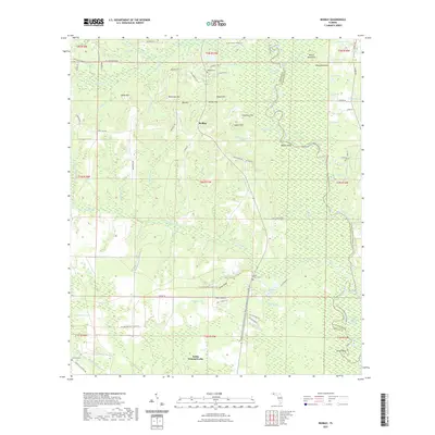
2021 Map of Redbay
USGS Topo · Published 2021About this map
The Redbay community and the surrounding wetlands of the Choctawhatchee River basin are defined by an intricate network of waterways and elevated ridges. This landscape includes significant local landmarks such as McKinnon Hill, Dykes Hill, and Hogan Hill, which rise above the river's floodplains. To the south, the settlement of Battle Ground Forks sits near the confluence of Big Cypress Cr and the river's complex cutoffs. The map documents numerous isolated ponds and lakes, including Horseshoe Lake and Endless Lake, reflecting a environment dominated by fluvial processes and drainage features like Hughes Ditch.
Find a feature on this map
75 named features on this map. Tap any name to fly to it.
Don’t see what you’re looking for? This feature index may not catch every label — zoom into the map to look around manually.
Map Details
Editions of this 2021 Redbay Map
This is the sole edition of this map. No revisions or reprints were ever made.
Other maps of this area

1935 · De Funiak Springs
USGS Topo · 1:48,000

1936 · Point Washington
USGS Topo · 1:48,000

1938 · De Funiak Springs
USGS Topo · 1:62,500

1939 · Point Washington
USGS Topo · 1:62,500

1944 · Bruce
USGS Topo · 1:24,000

1945 · Red Head
USGS Topo · 1:31,680

1945 · Bruce
USGS Topo · 1:31,680

1948 · Ponce De Leon
USGS Topo · 1:24,000

1949 · Millers Ferry
USGS Topo · 1:24,000

1949 · Redbay
USGS Topo · 1:24,000