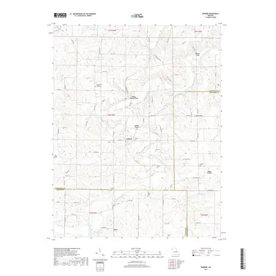
2017 Map of Redbird
USGS Topo · Published 2017About this map
The Bourbeuse River carves a winding path through this corner of the Missouri Ozarks, defining the rugged landscape and historic movement patterns of Gasconade, Crawford, and Phelps Counties. In an era where modern bridges are few, the map highlights traditional river crossings like Glaser Ford, Arthur Spring Ford, and Sewell Ford, which once connected isolated rural communities. Small settlements such as Redbird, Jake Prairie, and Royal serve as anchors for the surrounding farmsteads and ridges.
Find a feature on this map
88 named features on this map. Tap any name to fly to it.
Don’t see what you’re looking for? This feature index may not catch every label — zoom into the map to look around manually.
Map Details
Editions of this 2017 Redbird Map
This is the sole edition of this map. No revisions or reprints were ever made.
Other maps of this area

1903 · Sullivan
USGS Topo · 1:125,000

1934 · Bland
USGS Topo · 1:62,500

1934 · Redbird
USGS Topo · 1:62,500

1935 · Gerald
USGS Topo · 1:48,000

1937 · Bland
USGS Topo · 1:62,500

1938 · Redbird
USGS Topo · 1:62,500

1941 · Gerald
USGS Topo · 1:62,500

1944 · Gerald
USGS Topo · 1:62,500

1948 · Cuba
USGS Topo · 1:24,000

1948 · Oak Hill
USGS Topo · 1:24,000