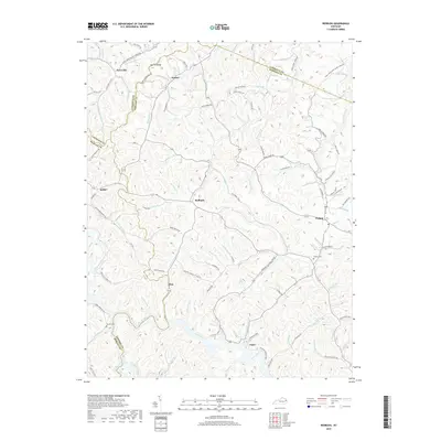
2019 Map of Redbush
USGS Topo · Published 2019About this map
Flatgap and Redbush anchor this 2019 survey of the dissected plateau landscape where Lawrence, Johnson, and Morgan Counties converge. The region is defined by a dense network of creek valleys and ridges, including the prominent Martha Ridge in the north and Skaggs Ridge to the east. Historically significant for genealogy and local history, the map traces family-named landmarks and rural infrastructure such as Salyers Cemetery near Flatgap and Jenkins Cemetery in the southwest. The transport network reflects the difficult terrain, with routes like Old Terryville Road and Potoaker Branch Road following the winding paths of waterways like Left Fork Blaine Creek and Upper Laurel Creek. The inclusion of the Head of Mudlick School Road and Paint Cliff Church Road points to the enduring social landmarks of these Appalachian communities.
Find a feature on this map
107 named features on this map. Tap any name to fly to it.
Don’t see what you’re looking for? This feature index may not catch every label — zoom into the map to look around manually.
Map Details
Editions of this 2019 Redbush Map
This is the sole edition of this map. No revisions or reprints were ever made.
Other maps of this area

1886 · Prestonsburg
USGS Topo · 1:125,000

1889 · Salyersville
USGS Topo · 1:125,000

1891 · Salyersville
USGS Topo · 1:125,000

1892 · Prestonsburg
USGS Topo · 1:125,000

1899 · Salyersville
USGS Topo · 1:125,000

1903 · Kenova
USGS Topo · 1:125,000

1904 · Kenova
USGS Topo · 1:125,000

1915 · Paintsville
USGS Topo · 1:48,000

1917 · Paintsville
USGS Topo · 1:62,500

1950 · Isonville
USGS Topo · 1:24,000