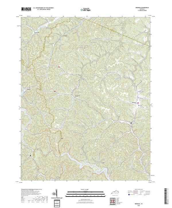
2022 Map of Redbush
USGS Topo · Published 2022About this map
Paint Creek winds through the southern reaches of this Appalachian landscape, where the boundaries of Morgan, Johnson, and Lawrence counties converge. The terrain is defined by a dense network of hollows and ridges, including the prominent Martha Ridge, which separate numerous small settlements. Local history is centered around quiet junctions like Redbush, Flatgap, and Keaton, where the geography dictated a decentralized pattern of small family farms and community life.
Find a feature on this map
110 named features on this map. Tap any name to fly to it.
Don’t see what you’re looking for? This feature index may not catch every label — zoom into the map to look around manually.
Map Details
Editions of this 2022 Redbush Map
This is the sole edition of this map. No revisions or reprints were ever made.
Other maps of this area

1886 · Prestonsburg
USGS Topo · 1:125,000

1889 · Salyersville
USGS Topo · 1:125,000

1891 · Salyersville
USGS Topo · 1:125,000

1892 · Prestonsburg
USGS Topo · 1:125,000

1899 · Salyersville
USGS Topo · 1:125,000

1903 · Kenova
USGS Topo · 1:125,000

1904 · Kenova
USGS Topo · 1:125,000

1915 · Paintsville
USGS Topo · 1:48,000

1917 · Paintsville
USGS Topo · 1:62,500

1950 · Isonville
USGS Topo · 1:24,000