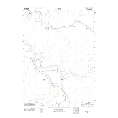
2012 Map of Redcrest
USGS Topo · Published 2012About this map
The Eel River and Van Duzen River define this Humboldt County landscape, where small riverfront settlements and river flats dominate the valley floor. In the early 21st century, these communities remain tightly bound to the winding watercourses and the arterial roads that follow them. The town of Redcrest sits near the river bend alongside Englewood, while further north, the Van Duzen River passes through notable landmarks like Devils Elbow and the remote Camp Bemis.
Find a feature on this map
44 named features on this map. Tap any name to fly to it.
Don’t see what you’re looking for? This feature index may not catch every label — zoom into the map to look around manually.
Map Details
Editions of this 2012 Redcrest Map
This is the sole edition of this map. No revisions or reprints were ever made.
Other maps of this area

1919 · Glynn
USGS Topo · 1:62,500

1921 · Dyerville
USGS Topo · 1:62,500

1922 · Kneeland
USGS Topo · 1:62,500

1944 · Fortuna
USGS Topo · 1:62,500

1949 · Eureka
USGS Topo · 1:250,000

1949 · Weott
USGS Topo · 1:62,500

1950 · Iaqua Buttes
USGS Topo · 1:62,500

1950 · Scotia
USGS Topo · 1:62,500

1951 · Scotia
USGS Topo · 1:62,500

1951 · Weott
USGS Topo · 1:62,500