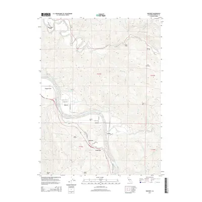
2015 Map of Redcrest
USGS Topo · Published 2015About this map
The Eel River and the Van Duzen River define the winding geography of this Humboldt County corridor, where the historic Avenue of the Giants tracks the valley floor. Small riverside settlements including Redcrest, Pepperwood, and Shively are situated along the flats and terraces, reflecting a long history of river-dependent habitation. The map illustrates a landscape of significant elevation changes, from the alluvial Holmes Flat to the heights of the Chalk Mountains and Peavine Ridge. Transport patterns are marked by the transition from the Redwood Hwy to local routes like Shively Rd, while the presence of Railroad Ave in Shively points to the area's historical rail connections. Natural landmarks such as Devils Elbow and Chadd Prairie offer specific points of interest for those studying the intersection of coastal topography and early California ranching or timber settlements.
Find a feature on this map
53 named features on this map. Tap any name to fly to it.
Don’t see what you’re looking for? This feature index may not catch every label — zoom into the map to look around manually.
Map Details
Editions of this 2015 Redcrest Map
This is the sole edition of this map. No revisions or reprints were ever made.
Other maps of this area

1919 · Glynn
USGS Topo · 1:62,500

1921 · Dyerville
USGS Topo · 1:62,500

1922 · Kneeland
USGS Topo · 1:62,500

1944 · Fortuna
USGS Topo · 1:62,500

1949 · Eureka
USGS Topo · 1:250,000

1949 · Weott
USGS Topo · 1:62,500

1950 · Iaqua Buttes
USGS Topo · 1:62,500

1950 · Scotia
USGS Topo · 1:62,500

1951 · Scotia
USGS Topo · 1:62,500

1951 · Weott
USGS Topo · 1:62,500