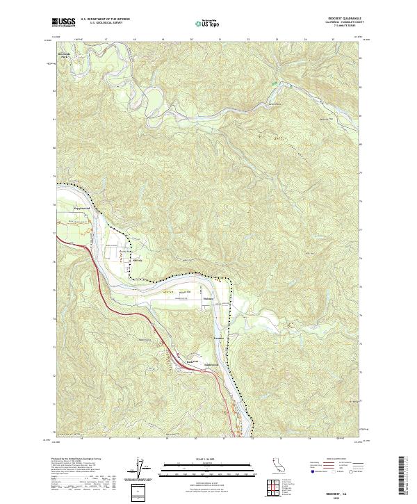
2022 Map of Redcrest
USGS Topo · Published 2022About this map
Redcrest and Englewood anchor this map of the redwood country, where the winding course of the Eel River meets the legendary Ave of the Giants. The landscape is defined by its deep river valleys and small river-bottom settlements like Holmes, Larabee, and Pepperwood. This area showcases the transition from agricultural flats, such as Chadd Prairie and Shively Flat, to the steep, wooded slopes of the Chalk Mountains and Peavine Ridge. The presence of the Pacific Lumber Company Rd and numerous haul roads like PL-Haul RD and L P Haul RD points to the region's enduring timber industry. Near the northern boundary, the Van Duzen River flows past Weonme Flat and through the sharp bend of Devils Elbow, illustrating the difficult terrain that shaped local transportation routes and settlement patterns for generations.
Find a feature on this map
59 named features on this map. Tap any name to fly to it.
Don’t see what you’re looking for? This feature index may not catch every label — zoom into the map to look around manually.
Map Details
Editions of this 2022 Redcrest Map
This is the sole edition of this map. No revisions or reprints were ever made.
Other maps of this area

1919 · Glynn
USGS Topo · 1:62,500

1921 · Dyerville
USGS Topo · 1:62,500

1922 · Kneeland
USGS Topo · 1:62,500

1944 · Fortuna
USGS Topo · 1:62,500

1949 · Eureka
USGS Topo · 1:250,000

1949 · Weott
USGS Topo · 1:62,500

1950 · Iaqua Buttes
USGS Topo · 1:62,500

1950 · Scotia
USGS Topo · 1:62,500

1951 · Scotia
USGS Topo · 1:62,500

1951 · Weott
USGS Topo · 1:62,500