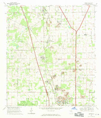
1968 Map of Reddick
USGS Topo · Published 1970About this map
Reddick and the surrounding central Florida landscape of Marion County are defined by a heavy industrial and institutional presence in the late 1960s. The Seaboard Coast Line railroad runs north-to-south through the center of the sheet, connecting a string of settlements from Lowell down through Martin and Zuber to Kendrick. The terrain is significantly altered by numerous Quarry and Quarries sites, particularly around the northern and southern outskirts of these towns, indicating the region's historical reliance on limestone or phosphate extraction.
Find a feature on this map
29 named features on this map. Tap any name to fly to it.
Don’t see what you’re looking for? This feature index may not catch every label — zoom into the map to look around manually.
Map Details
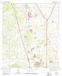
Editions of this 1968 Reddick Map
2 editions found
Other maps of this area

1892 · Dunnellon
USGS Topo · 1:62,500

1893 · Citra
USGS Topo · 1:62,500

1894 · Dunnellon
USGS Topo · 1:62,500

1895 · Williston
USGS Topo · 1:62,500

1895 · Citra
USGS Topo · 1:62,500

1895 · Ocala
USGS Topo · 1:62,500

1954 · Cotton Plant
USGS Topo · 1:24,000

1954 · Dunnellon
USGS Topo · 1:62,500

1954 · Gainesville
USGS Topo · 1:250,000

1958 · Gainesville
USGS Topo · 1:250,000