Loading...
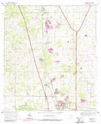
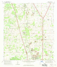
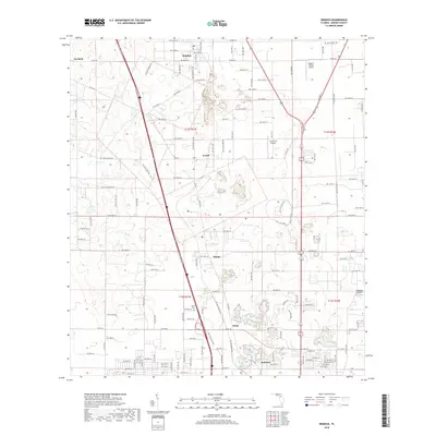
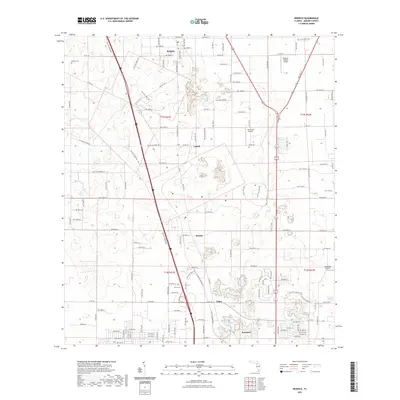
Loading map...1968 Map of Reddick
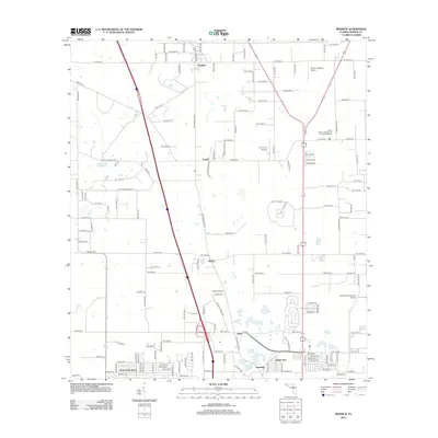
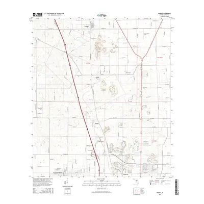
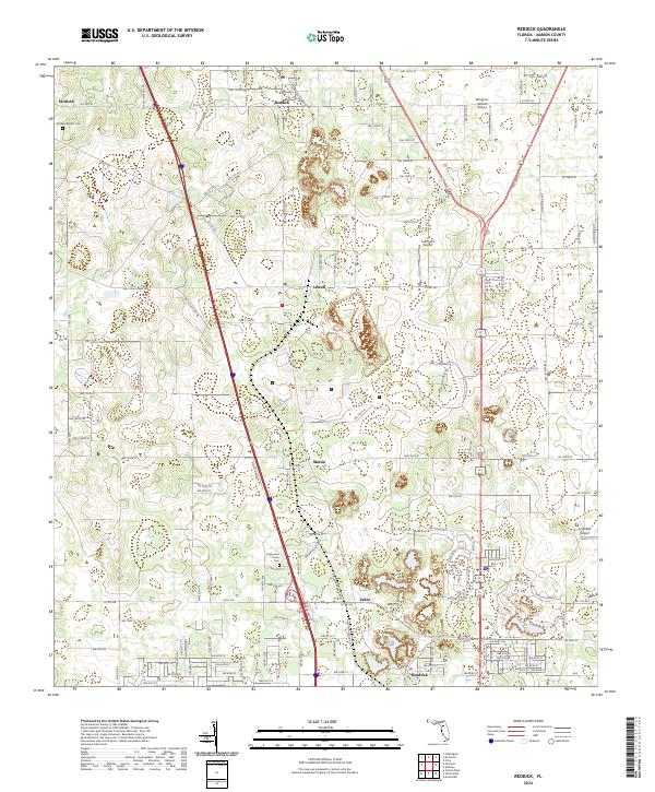
USGS Topo · Published 1988About this map
The town of Reddick and the surrounding Marion County landscape are defined by a mix of agriculture, institutional development, and heavy industry during the late 1960s. Extensive Quarries and various Quarry sites dot the terrain, signaling the importance of limestone or phosphate mining to the local economy. Educational centers are prominent across the quadrangle, ranging from the North Marion High Sch in the north to Fessenden High Sch further south.
Find a feature on this map
28 named features on this map. Tap any name to fly to it.
Don’t see what you’re looking for? This feature index may not catch every label — zoom into the map to look around manually.
Map Details
Date Portrayed1968
Date Published1988
PublisherU.S. Geological Survey
Map TypeTopographic
Scale1:24,000
Physical Dimensions22 x 26.9 inches
Editions of this 1968 Reddick Map
2 editions found
Historical Maps of Reddick Through Time
6 maps found
Featured Locations
Source Details
SourceU.S. Geological Survey
CopyrightPublic Domain