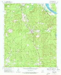
1970 Map of Redfield
USGS Topo · Published 1972About this map
The Missouri Pacific railroad corridor anchors this survey of central Arkansas, cutting a diagonal path through Redfield and the surrounding timberlands. To the north, the Arkansas River meanders past Harris Bluff, while the southern reaches of the map show the edge of the Pine Bluff Arsenal. The landscape is a network of small creeks and bayous, including Shingle Mill Bayou and Counterfeit Creek, which drain the varied terrain of the Mountains ridge.
Find a feature on this map
64 named features on this map. Tap any name to fly to it.
Don’t see what you’re looking for? This feature index may not catch every label — zoom into the map to look around manually.
Map Details
Editions of this 1970 Redfield Map
2 editions found
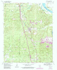
Other maps of this area

1891 · Little Rock
USGS Topo · 1:125,000

1893 · Little Rock
USGS Topo · 1:125,000

1932 · Pastoria
USGS Topo · 1:62,500

1935 · Alexander
USGS Topo · 1:48,000

1935 · Pastoria
USGS Topo · 1:62,500

1939 · Keo
USGS Topo · 1:31,680

1940 · Woodson
USGS Topo · 1:31,680

1941 · Alexander
USGS Topo · 1:62,500

1941 · Keo
USGS Topo · 1:31,680

1944 · Spring Lake
USGS Topo · 1:31,680