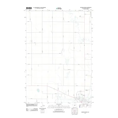
2012 Map of Redfield North
USGS Topo · Published 2012About this map
Snake Cr meanders southward through the agricultural heart of Spink County, defining the drainage patterns of this prairie landscape. The northern edge of the city of Redfield is captured at a moment of modern development, where the grid of N Main St and Center Rd meets the edge of open township land. This survey provides significant detail for local historians and genealogists, documenting the precise locations of Ashton Cem to the north and the clustered Greenlawn Cem and Saint Bernard Cem near the town center. The presence of the Pheasant City Drive-In offers a distinct marker of mid-century Americana still persisting on the landscape. Water resources are central to the area's geography, ranging from the broad expanse of Lake Louise to the smaller Mud Lake and the winding course of Turtle Cr as it approaches the settlement.
Find a feature on this map
35 named features on this map. Tap any name to fly to it.
Don’t see what you’re looking for? This feature index may not catch every label — zoom into the map to look around manually.
Map Details
Editions of this 2012 Redfield North Map
This is the sole edition of this map. No revisions or reprints were ever made.
Other maps of this area

1895 · Byron
USGS Topo · 1:125,000

1895 · Aberdeen
USGS Topo · 1:125,000

1899 · Northville
USGS Topo · 1:125,000

1899 · Redfield
USGS Topo · 1:125,000

1953 · Redfield North
USGS Topo · 1:24,000

1953 · Gallup
USGS Topo · 1:24,000

1953 · Ashton
USGS Topo · 1:24,000

1953 · Huron
USGS Topo · 1:250,000

1954 · Aberdeen
USGS Topo · 1:250,000

1954 · Huron
USGS Topo · 1:250,000