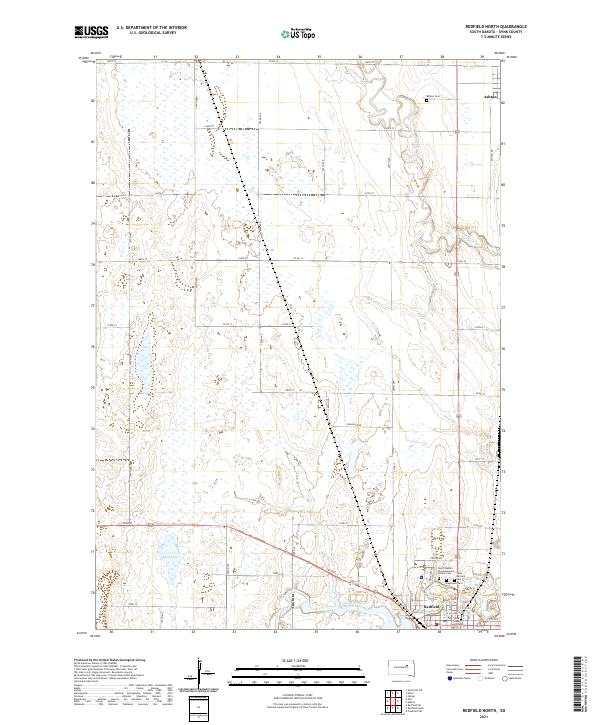
2021 Map of Redfield North
USGS Topo · Published 2021About this map
Redfield and the surrounding prairie plains of Spink County are defined by the meandering courses of Snake Cr and Turtle Cr. This landscape is marked by numerous small depressions and water bodies such as Mud Lake and Lake Redfield, reflecting the area's glacial topography. The settlement pattern is organized around a rigid grid of country roads, including Co RD 16 and Pheasant Rd, which connect scattered agricultural homesteads. Genealogists and local researchers will find significant detail in the cluster of burial grounds near the southern township line, including the South Dakota Developmental Center Cem, Saint Bernard Cem, and Greenlawn Cem. Farther north, the small community of Ashton is situated near the Ashton Cem, highlighting the early centers of local commerce and community life in this portion of South Dakota.
Find a feature on this map
37 named features on this map. Tap any name to fly to it.
Don’t see what you’re looking for? This feature index may not catch every label — zoom into the map to look around manually.
Map Details
Editions of this 2021 Redfield North Map
This is the sole edition of this map. No revisions or reprints were ever made.
Other maps of this area

1895 · Byron
USGS Topo · 1:125,000

1895 · Aberdeen
USGS Topo · 1:125,000

1899 · Northville
USGS Topo · 1:125,000

1899 · Redfield
USGS Topo · 1:125,000

1953 · Redfield North
USGS Topo · 1:24,000

1953 · Gallup
USGS Topo · 1:24,000

1953 · Ashton
USGS Topo · 1:24,000

1953 · Huron
USGS Topo · 1:250,000

1954 · Aberdeen
USGS Topo · 1:250,000

1954 · Huron
USGS Topo · 1:250,000