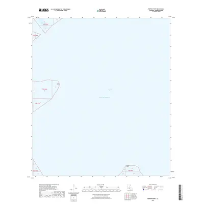
2018 Map of Redfish Point
USGS Topo · Published 2018About this map
Vermilion Bay and the open waters of the Gulf of Mexico dominate this 2018 coastal survey of Louisiana's southern shoreline. The map focuses on the delicate interface between the marshy mainland and the sea, centered on the prominent landforms of Redfish Point and Indian Point. These points of land serve as vital landmarks for maritime navigation and coastal monitoring in a region defined by its shifting aquatic boundaries.
Find a feature on this map
8 named features on this map. Tap any name to fly to it.
Don’t see what you’re looking for? This feature index may not catch every label — zoom into the map to look around manually.
Map Details
Editions of this 2018 Redfish Point Map
This is the sole edition of this map. No revisions or reprints were ever made.
Other maps of this area

1932 · Abbeville SW
USGS Topo · 1:31,680

1932 · Abbeville SE
USGS Topo · 1:31,680

1937 · Derouen
USGS Topo · 1:62,500

1945 · New Orleans
USGS Topo · 1:250,000

1946 · Redfish Point SW
USGS Topo · 1:31,680

1946 · Redfish Point NE
USGS Topo · 1:31,680

1946 · Redfish Point SE
USGS Topo · 1:31,680

1946 · Redfish Point NW
USGS Topo · 1:31,680

1948 · Cypremort Point
USGS Topo · 1:24,000

1949 · Bayou Lucien
USGS Topo · 1:31,680