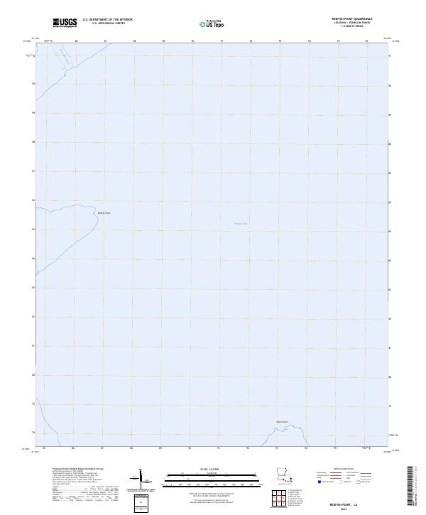
2024 Map of Redfish Point
USGS Topo · Published 2024About this map
Vermilion Bay dominates this coastal survey, where the brackish waters of the Louisiana shoreline meet the marshy edges of Vermilion Parish. The map centers on the open expanse of the bay, defined by prominent landforms such as Redfish Point to the west and Indian Point along the southern margin. This region is characterized by its tidal influence and maritime navigation routes, illustrated by the Four Mile Cutoff in the northwest corner. The cartography emphasizes the intricate boundary between land and sea, focusing on these specific points of land that have long served as vital navigational landmarks for local mariners and hunters in the Gulf Coast wetlands.
Find a feature on this map
7 named features on this map. Tap any name to fly to it.
Don’t see what you’re looking for? This feature index may not catch every label — zoom into the map to look around manually.
Map Details
Editions of this 2024 Redfish Point Map
This is the sole edition of this map. No revisions or reprints were ever made.
Other maps of this area

1932 · Abbeville SW
USGS Topo · 1:31,680

1932 · Abbeville SE
USGS Topo · 1:31,680

1937 · Derouen
USGS Topo · 1:62,500

1945 · New Orleans
USGS Topo · 1:250,000

1946 · Redfish Point SW
USGS Topo · 1:31,680

1946 · Redfish Point NE
USGS Topo · 1:31,680

1946 · Redfish Point SE
USGS Topo · 1:31,680

1946 · Redfish Point NW
USGS Topo · 1:31,680

1948 · Cypremort Point
USGS Topo · 1:24,000

1949 · Bayou Lucien
USGS Topo · 1:31,680