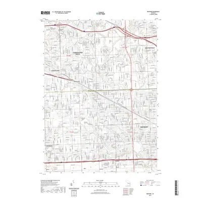
2019 Map of Redford
USGS Topo · Published 2019About this map
Farmington Hills and Southfield dominate the northern landscape of this Oakland County survey, illustrating the dense suburban development patterns of the 21st century. The map highlights a significant concentration of memorial sites and resting places, including the expansive Holy Sepulchre Cem, Grand Lawn Cem, and Beth El Memorial Park. These cemeteries, alongside smaller historical plots like East Farmington Cem and Southfield Cem, serve as critical anchors for local genealogical research.
Find a feature on this map
56 named features on this map. Tap any name to fly to it.
Don’t see what you’re looking for? This feature index may not catch every label — zoom into the map to look around manually.
Map Details
Editions of this 2019 Redford Map
This is the sole edition of this map. No revisions or reprints were ever made.
Other maps of this area

1905 · Wayne
USGS Topo · 1:62,500

1905 · Detroit
USGS Topo · 1:62,500

1907 · Pontiac
USGS Topo · 1:62,500

1908 · Rochester
USGS Topo · 1:62,500

1912 · Wayne
USGS Topo · 1:62,500

1918 · Detroit
USGS Topo · 1:62,500

1924 · Detroit
USGS Topo · 1:62,500

1934 · Detroit
USGS Topo · 1:62,500

1936 · Inkster
USGS Topo · 1:31,680

1936 · Wayne
USGS Topo · 1:31,680