
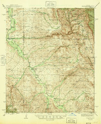
1945 Map of Redington
USGS Topo · Published 1945About this map
The San Pedro River serves as the central artery for this mid-1940s landscape, where a network of family-run operations and homesteads define the settlement pattern along the river valley. Ranches such as the Bingham Ranch, CarLink Ranch, and Cascabel Ranch line the corridor, reflecting a pastoral economy anchored by water access in an otherwise arid environment. The presence of the Pool Sch and the Jackson Mine near Jackson Cabin indicates a established community structure that supported both agricultural and extractive industries.
Find a feature on this map
59 named features on this map. Tap any name to fly to it.
Don’t see what you’re looking for? This feature index may not catch every label — zoom into the map to look around manually.
Map Details
Editions of this 1945 Redington Map
2 editions found
Other maps of this area

1904 · Tucson
USGS Topo · 1:125,000

1905 · Tucson
USGS Topo · 1:125,000

1911 · Winkelman
USGS Topo · 1:125,000

1913 · Winkelman
USGS Topo · 1:125,000

1938 · Galiuro Mts
USGS Topo · 1:48,000

1940 · Sierra Bonita Ranch
USGS Topo · 1:62,500

1942 · Sierra Bonita Ranch
USGS Topo · 1:62,500

1943 · Galiuro Mts
USGS Topo · 1:62,500

1943 · Dragoon
USGS Topo · 1:62,500

1943 · Sierra Bonita Ranch
USGS Topo · 1:62,500