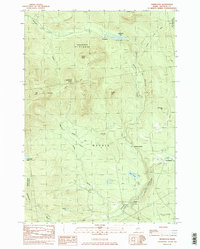
1984 Map of Redington
USGS Topo · Published 1985About this map
The high peaks of the western Maine mountains dominate this survey, centered on the unincorporated township of Redington. The landscape is defined by the high ridgelines of Saddleback Junior, The Horn, and Mt Abraham, with the Appalachian Trail traversing the northern heights. A network of logging and transport history is visible through the Old RR Grade that follows the valley of Orbeton Stream, once a vital corridor for moving timber out of these remote townships.
Find a feature on this map
31 named features on this map. Tap any name to fly to it.
Don’t see what you’re looking for? This feature index may not catch every label — zoom into the map to look around manually.
Map Details
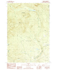
Editions of this 1984 Redington Map
2 editions found
Other maps of this area

1928 · Stratton
USGS Topo · 1:48,000

1929 · Phillips
USGS Topo · 1:48,000

1932 · Phillips
USGS Topo · 1:62,500

1932 · Stratton
USGS Topo · 1:62,500

1932 · Kennebago Lake
USGS Topo · 1:48,000

1933 · Rangeley
USGS Topo · 1:48,000

1935 · Kennebago Lake
USGS Topo · 1:62,500

1936 · Kennebago Lake
USGS Topo · 1:62,500

1939 · Rangeley
USGS Topo · 1:62,500

1949 · Jackman
USGS Topo · 1:250,000
Featured Places
- Phillips, ME
- Madrid Township, ME
- Sandy River Plantation, ME
- East Madrid, Madrid Township
- Mount Abram Township, ME