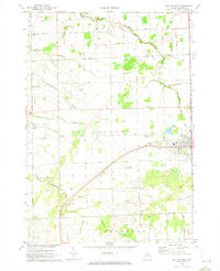
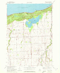
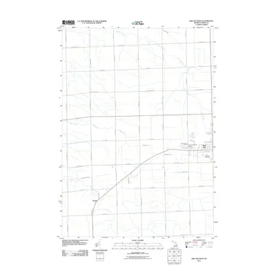
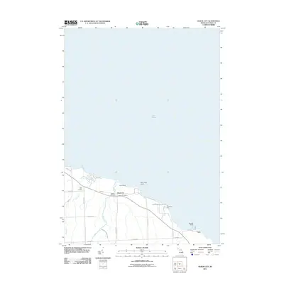
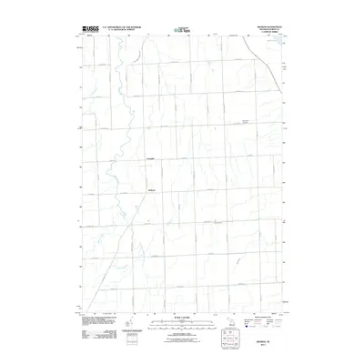
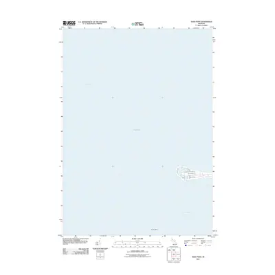
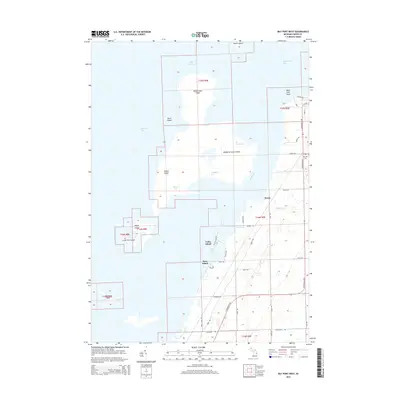
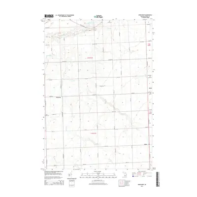
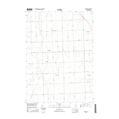
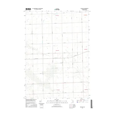
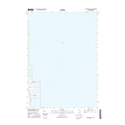
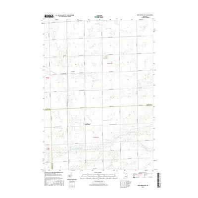
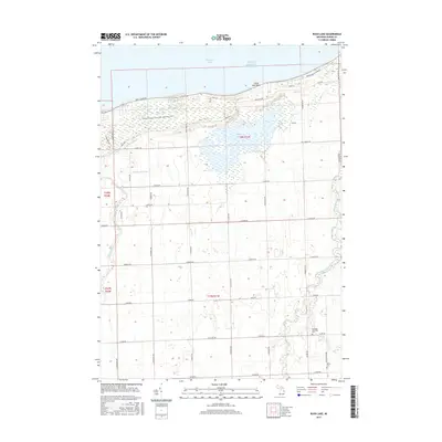
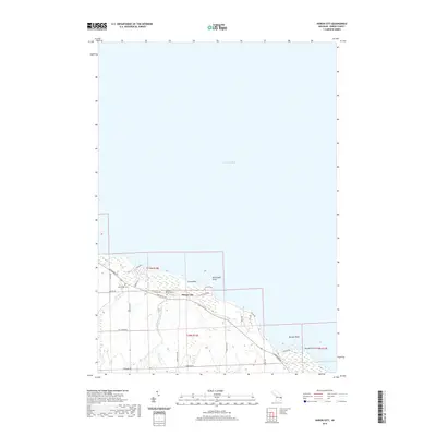
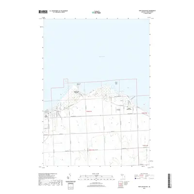
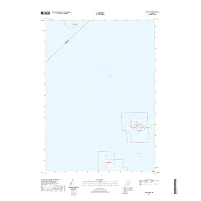
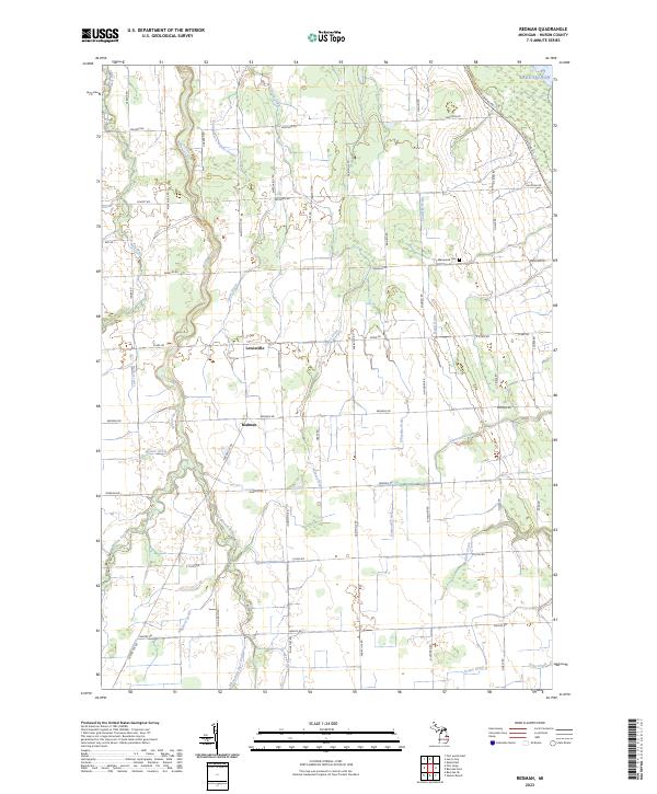
1970 Map of Redman
USGS Topo · Published 1973About this map
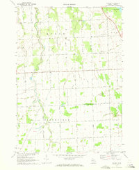
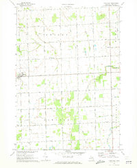
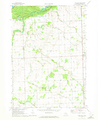
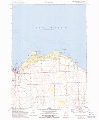
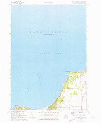
The agrarian landscape of Huron County’s eastern interior meets the shore of Lake Huron at the northeast corner of this 1970s survey. Defined by a strictly rectilinear road grid, the region encompasses the townships of Bloomfield, Huron City, Gore, and Rubicon. These townships are threaded by an extensive drainage network, including Willow Creek, Diamond Creek, and dozens of engineered channels like the Kaufman Drain and Huron City Drain.
Find a feature on this map
54 named features on this map. Tap any name to fly to it.
Don’t see what you’re looking for? This feature index may not catch every label — zoom into the map to look around manually.
Map Details
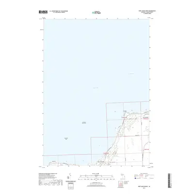
Editions of this 1970 Redman Map
This is the sole edition of this map. No revisions or reprints were ever made.
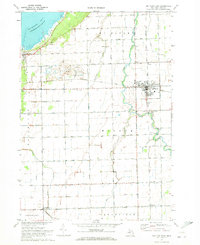
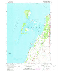
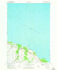
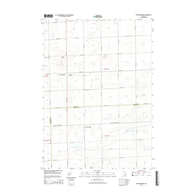
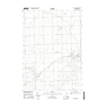
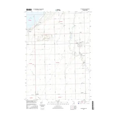
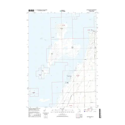
Historical Maps of Bloomfield Township Through Time
89 maps found
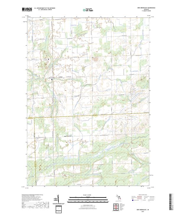
1963 New Greenleaf
Huron County, MI
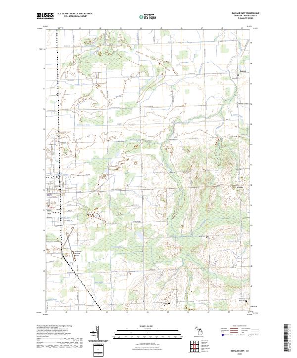
1970 Bad Axe East
Huron County, MI
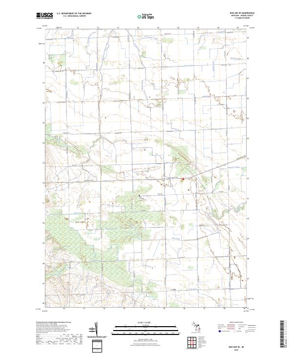
1970 Bad Axe SE
Huron County, MI
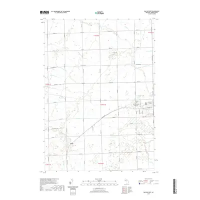
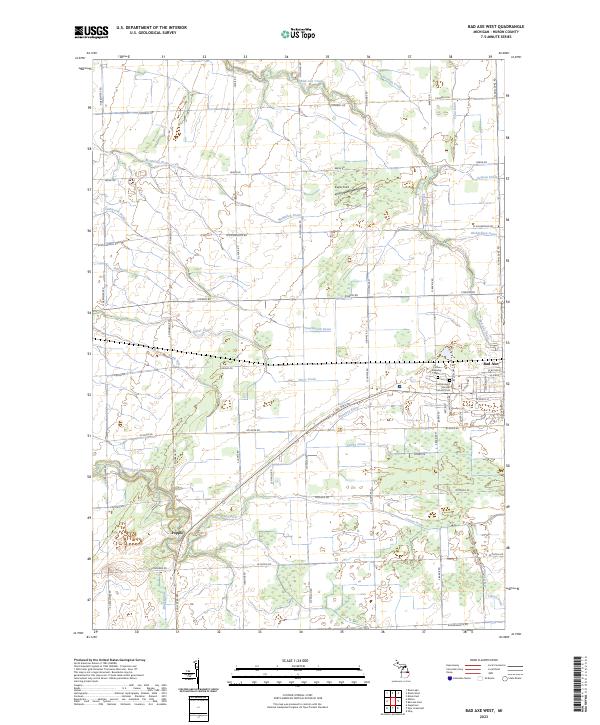
1970 Bad Axe West
Huron County, MI
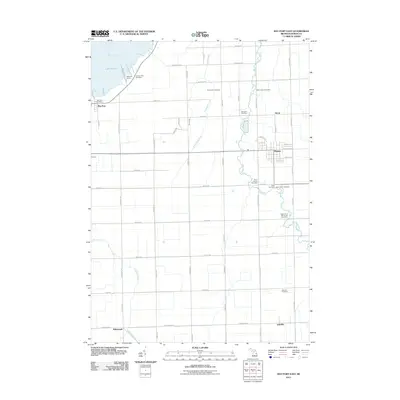
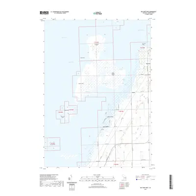
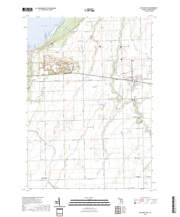
1970 Bay Port East
Huron County, MI
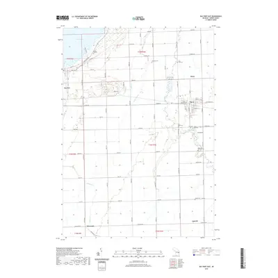
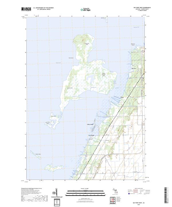
1970 Bay Port West
Huron County, MI
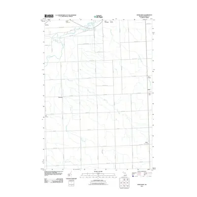
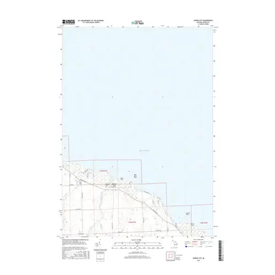
1970 Huron City
Huron County, MI
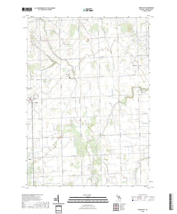
1970 Kinde East
Huron County, MI
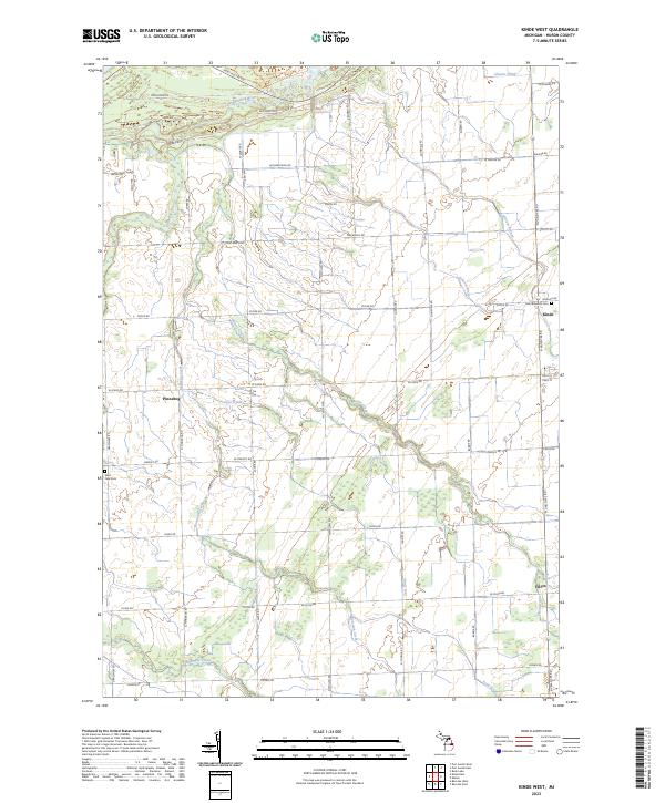
1970 Kinde West
Huron County, MI
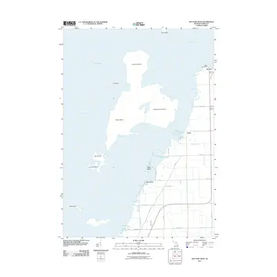
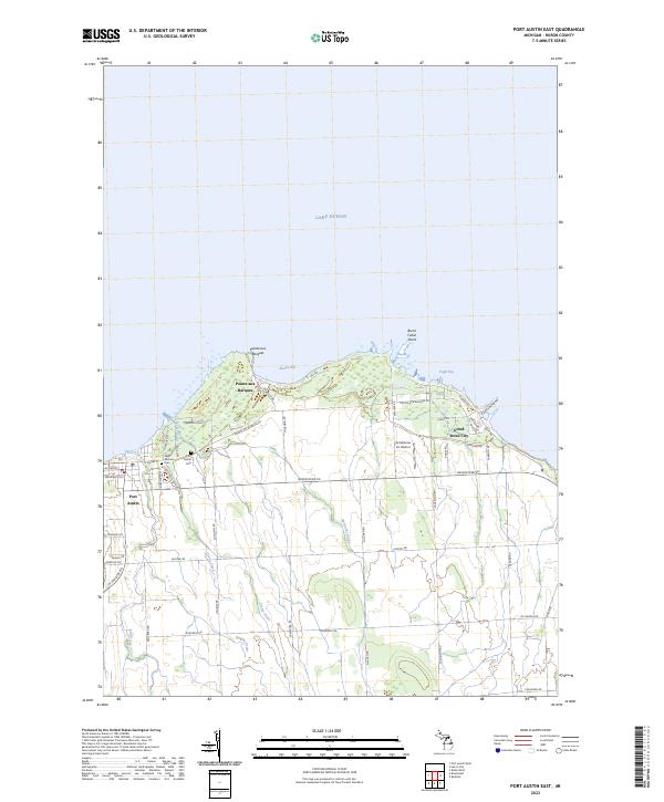
1970 Port Austin East
Huron County, MI
1970 Port Austin West
Huron County, MI
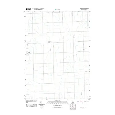
1970 Redman
Huron County, MI
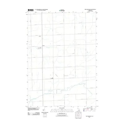
1970 Rush Lake
Huron County, MI
1970 Sand Point
Huron County, MI
2011 Bad Axe East
Huron County, MI
2011 Bad Axe SE
Huron County, MI
2011 Bad Axe West
Huron County, MI
2011 Bay Port East
Huron County, MI
2011 Bay Port West
Huron County, MI
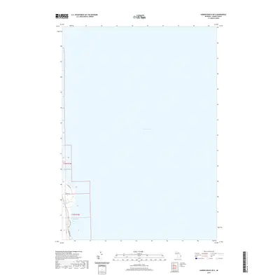
2011 Harbor Beach OE E
Huron County, MI
2011 Huron City
Huron County, MI
2011 Kinde East
Huron County, MI
2011 Kinde West
Huron County, MI
2011 New Greenleaf
Huron County, MI
2011 Port Austin East
Huron County, MI
2011 Port Austin West
Huron County, MI
2011 Redman
Huron County, MI
2011 Rush Lake
Huron County, MI
2011 Sand Point
Huron County, MI
2014 Bad Axe East
Huron County, MI

2014 Bad Axe SE
Huron County, MI
2014 Bad Axe West
Huron County, MI
2014 Bay Port East
Huron County, MI
2014 Bay Port West
Huron County, MI
2014 Harbor Beach OE E
Huron County, MI
2014 Huron City
Huron County, MI
2014 Kinde East
Huron County, MI
2014 Kinde West
Huron County, MI
2014 New Greenleaf
Huron County, MI
2014 Port Austin East
Huron County, MI
2014 Port Austin West
Huron County, MI
2014 Redman
Huron County, MI
2014 Rush Lake
Huron County, MI
2014 Sand Point
Huron County, MI
2017 Bad Axe East
Huron County, MI
2017 Bad Axe SE
Huron County, MI
2017 Bad Axe West
Huron County, MI
2017 Bay Port East
Huron County, MI
2017 Bay Port West
Huron County, MI
2017 Harbor Beach OE E
Huron County, MI
2017 Huron City
Huron County, MI
2017 Kinde East
Huron County, MI
2017 Kinde West
Huron County, MI
2017 New Greenleaf
Huron County, MI
2017 Port Austin East
Huron County, MI
2017 Port Austin West
Huron County, MI
2017 Redman
Huron County, MI
2017 Rush Lake
Huron County, MI
2017 Sand Point
Huron County, MI
2019 Bad Axe East
Huron County, MI
2019 Bad Axe SE
Huron County, MI
2019 Bad Axe West
Huron County, MI
2019 Bay Port East
Huron County, MI
2019 Bay Port West
Huron County, MI
2019 Harbor Beach OE E
Huron County, MI
2019 Huron City
Huron County, MI
2019 Kinde East
Huron County, MI
2019 Kinde West
Huron County, MI
2019 New Greenleaf
Huron County, MI
2019 Port Austin East
Huron County, MI
2019 Port Austin West
Huron County, MI
2019 Redman
Huron County, MI
2019 Rush Lake
Huron County, MI
2019 Sand Point
Huron County, MI
2023 Bad Axe East
Huron County, MI
2023 Bad Axe SE
Huron County, MI
2023 Bad Axe West
Huron County, MI
2023 Bay Port East
Huron County, MI
2023 Bay Port West
Huron County, MI
2023 Harbor Beach OE E
Huron County, MI
2023 Huron City
Huron County, MI
2023 Kinde East
Huron County, MI
2023 Kinde West
Huron County, MI
2023 New Greenleaf
Huron County, MI
2023 Port Austin East
Huron County, MI
2023 Port Austin West
Huron County, MI
2023 Redman
Huron County, MI
2023 Rush Lake
Huron County, MI

2023 Sand Point
Huron County, MI
Featured Locations
- Gore Township, MI
- Huron Township, MI
- Bloomfield Township, MI
- Rubicon Township, MI
- Lewisville, Huron Township