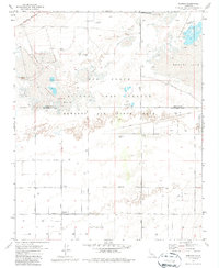
1973 Map of Redman
USGS Topo · Published 1977About this map
Edwards Air Force Base dominates this high-desert landscape in the early 1970s, illustrating the expansion of the Air Force Flight Test Center across the dry lakebeds of the Antelope Valley. The flat expanses of Buckhorn Lake and Rogers Lake serve as natural runways, while a grid of rural avenues and specialized infrastructure like the Observation Tower, Test Track, and Tracking Station mark the site's military significance.
Find a feature on this map
27 named features on this map. Tap any name to fly to it.
Don’t see what you’re looking for? This feature index may not catch every label — zoom into the map to look around manually.
Map Details
Editions of this 1973 Redman Map
2 editions found
Other maps of this area

1915 · Elizabeth Lake
USGS Topo · 1:125,000

1917 · Elizabeth Lake
USGS Topo · 1:125,000

1930 · Joshua
USGS Topo · 1:24,000

1930 · Roosevelt School
USGS Topo · 1:24,000

1930 · Casa Desierta
USGS Topo · 1:24,000

1933 · Casa Desierta
USGS Topo · 1:24,000

1933 · Roosevelt School
USGS Topo · 1:24,000

1934 · Joshua
USGS Topo · 1:24,000

1937 · Rogers Lake
USGS Topo · 1:48,000

1942 · Rogers Lake
USGS Topo · 1:62,500