
1933 Map of Roosevelt School
USGS Topo · Published 1933About this map
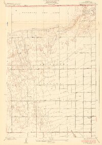
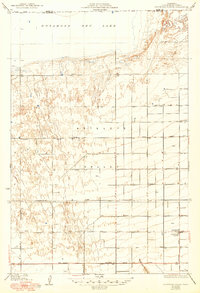
Rosamond Dry Lake dominates the northern horizon of this 1930s landscape, where the arid floor of the Antelope Valley meets the high desert border of Los Angeles and Kern counties. The map captures a moment when the regional geometry was defined by an expansive grid of unpaved avenues and arterial routes like Redman Road, serving a sparse population of homesteaders and ranchers. The presence of Roosevelt School near the intersection of several desert roads highlights the area's role as a growing community hub before the mid-century expansion of military and aerospace interests. Water management is the primary concern visible on the sheet, with numerous scattered wells and the drainage of Rock Creek illustrating the persistent efforts to sustain life and agriculture in this dry climate.
Find a feature on this map
12 named features on this map. Tap any name to fly to it.
Don’t see what you’re looking for? This feature index may not catch every label — zoom into the map to look around manually.
Map Details
Editions of this 1933 Roosevelt School Map
3 editions found
Other maps of this area

1915 · Elizabeth Lake
USGS Topo · 1:125,000

1917 · Elizabeth Lake
USGS Topo · 1:125,000

1930 · Oban
USGS Topo · 1:24,000

1930 · Roosevelt School
USGS Topo · 1:24,000

1930 · Casa Desierta
USGS Topo · 1:24,000

1930 · Lancaster
USGS Topo · 1:24,000

1930 · West Alpine Butte
USGS Topo · 1:24,000

1930 · Tierra Bonita
USGS Topo · 1:24,000

1933 · Lancaster
USGS Topo · 1:24,000

1933 · Casa Desierta
USGS Topo · 1:24,000