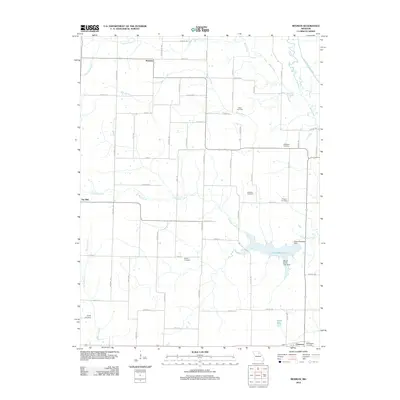
2012 Map of Redman
USGS Topo · Published 2012About this map
Mitts Cemetery, Ebenezer Cemetery, and Hawkins Cemetery anchor a landscape of rural family history in this corner of Shelby County. Small settlements like Redman and Ten Mile serve as quiet nodes in an agricultural grid defined by creek branches and section lines. The topography is shaped by the winding North Fork Salt River in the northeast and the reservoir system of Daniel Boone Lake in the south, supported by the David R Wilson Dam.
Find a feature on this map
38 named features on this map. Tap any name to fly to it.
Don’t see what you’re looking for? This feature index may not catch every label — zoom into the map to look around manually.
Map Details
Editions of this 2012 Redman Map
This is the sole edition of this map. No revisions or reprints were ever made.
Other maps of this area

1908 · Atlanta
USGS Topo · 1:62,500

1908 · Macon
USGS Topo · 1:62,500

1910 · Macon
USGS Topo · 1:62,500

1953 · Moberly
USGS Topo · 1:250,000

1954 · Moberly
USGS Topo · 1:250,000

1957 · Moberly
USGS Topo · 1:250,000

1958 · Lentner
USGS Topo · 1:24,000

1960 · Moberly
USGS Topo · 1:250,000
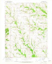
1963 · Leonard
USGS Topo · 1:24,000
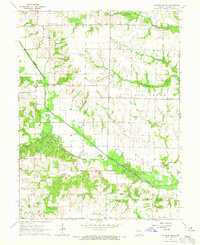
1964 · Hagers Grove
USGS Topo · 1:24,000