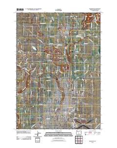
2011 Map of Redmond
USGS Topo · Published 2011About this map
The city of Redmond serves as the central hub of this High Desert landscape, showing significant growth around the Deschutes County Fairgrounds and Roberts Field-Redmond Municipal Airport. The map documents a complex irrigation network vital to the region's agriculture, featuring the North Unit Main Canal and several lateral branches including Lateral H, Lateral F, and Lateral E. To the north, the community of Terrebonne sits near the Terrebonne Post Office and the Terrebonne Cemetery, serving as a gateway to the distinctive geology of the area.
Find a feature on this map
111 named features on this map. Tap any name to fly to it.
Don’t see what you’re looking for? This feature index may not catch every label — zoom into the map to look around manually.
Map Details
Editions of this 2011 Redmond Map
This is the sole edition of this map. No revisions or reprints were ever made.
Other maps of this area
1926 · Bend
USGS Topo · 1:125,000
1929 · Bend
USGS Topo · 1:125,000
1955 · Bend
USGS Topo · 1:250,000
1957 · Bend
USGS Topo · 1:250,000
1958 · Bend
USGS Topo · 1:250,000
1961 · Redmond
USGS Topo · 1:24,000
1962 · Opal City
USGS Topo · 1:24,000
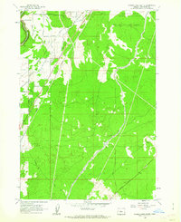
1962 · Forked Horn Butte
USGS Topo · 1:24,000
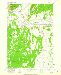
1962 · Oneil
USGS Topo · 1:24,000
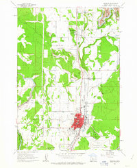
1962 · Redmond
USGS Topo · 1:24,000