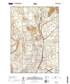
2020 Map of Redmond
USGS Topo · Published 2020About this map
Redmond serves as the central hub of this Deschutes County landscape, where the municipal grid expands toward the high desert landmarks of Central Oregon. The map illustrates a complex water management system essential to the region's development, featuring Lateral C, Lateral F, and the Irrigation Lateral Rd that lace through the agricultural plots between settlements. To the north, the community of Terrebonne sits near the dramatic geology of the Crooked River Gorge and the iconic heights of Smith Rock.
Find a feature on this map
192 named features on this map. Tap any name to fly to it.
Don’t see what you’re looking for? This feature index may not catch every label — zoom into the map to look around manually.
Map Details
Editions of this 2020 Redmond Map
This is the sole edition of this map. No revisions or reprints were ever made.
Other maps of this area

1926 · Bend
USGS Topo · 1:125,000

1929 · Bend
USGS Topo · 1:125,000

1955 · Bend
USGS Topo · 1:250,000

1957 · Bend
USGS Topo · 1:250,000

1958 · Bend
USGS Topo · 1:250,000

1961 · Redmond
USGS Topo · 1:24,000

1962 · Opal City
USGS Topo · 1:24,000

1962 · Forked Horn Butte
USGS Topo · 1:24,000

1962 · Oneil
USGS Topo · 1:24,000
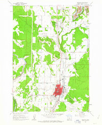
1962 · Redmond
USGS Topo · 1:24,000