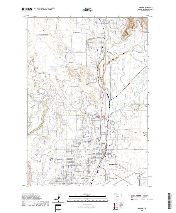
2024 Map of Redmond
USGS Topo · Published 2024About this map
The high desert plateau of Central Oregon is defined by dramatic volcanic geology and a complex network of irrigation laterals in this contemporary 2024 survey. The city of Redmond serves as a hub, bordered by the aviation facilities at Roberts Field and educational centers like the Central Oregon Community College Redmond Campus. To the north, the landscape is punctuated by the jagged verticality of Smith Rock and the deep incision of the Crooked River Gorge. These geological landmarks, along with Tetherow Butte and Forked Horn Butte, contrast sharply with the geometric grid of the valley floor. Historically vital water management is visible through numerous water-delivery lines such as Lateral H and Lateral F, which supported the agricultural development of the region around Terrebonne. The map also preserves local history sites like the Terrebonne Cem, situated near the bends of the Crooked River.
Find a feature on this map
205 named features on this map. Tap any name to fly to it.
Don’t see what you’re looking for? This feature index may not catch every label — zoom into the map to look around manually.
Map Details
Editions of this 2024 Redmond Map
This is the sole edition of this map. No revisions or reprints were ever made.
Other maps of this area

1926 · Bend
USGS Topo · 1:125,000

1929 · Bend
USGS Topo · 1:125,000

1955 · Bend
USGS Topo · 1:250,000

1957 · Bend
USGS Topo · 1:250,000

1958 · Bend
USGS Topo · 1:250,000

1961 · Redmond
USGS Topo · 1:24,000

1962 · Opal City
USGS Topo · 1:24,000

1962 · Forked Horn Butte
USGS Topo · 1:24,000

1962 · Oneil
USGS Topo · 1:24,000
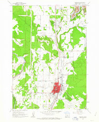
1962 · Redmond
USGS Topo · 1:24,000