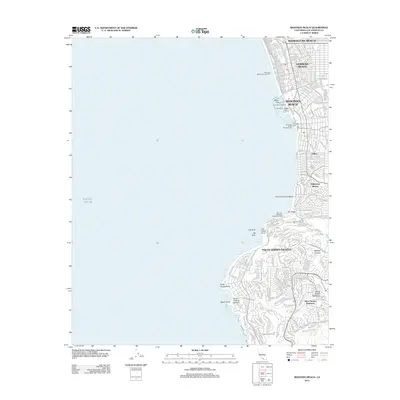
2012 Map of Redondo Beach
USGS Topo · Published 2012About this map
Manhattan Beach, Hermosa Beach, and Redondo Beach form a continuous coastal corridor along the Pacific Ocean in this early 21st-century survey. The shoreline is characterized by its recreational infrastructure, including the Hermosa Beach Municipal Pier, Redondo Beach Municipal Pier, and the smaller Monstad Pier. The northern urban grid gives way to the curving roads and varied topography of the Palos Verdes Peninsula to the south.
Find a feature on this map
167 named features on this map. Tap any name to fly to it.
Don’t see what you’re looking for? This feature index may not catch every label — zoom into the map to look around manually.
Map Details
Editions of this 2012 Redondo Beach Map
This is the sole edition of this map. No revisions or reprints were ever made.
Other maps of this area

1896 · Redondo
USGS Topo · 1:62,500

1896 · San Pedro
USGS Topo · 1:62,500

1901 · Southern California Sheet No. 1
USGS Topo · 1:250,000

1904 · Southern California Sheet No. 1
USGS Topo · 1:250,000

1924 · Torrance
USGS Topo · 1:24,000
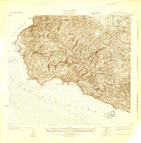
1925 · San Pedro Hills
USGS Topo · 1:24,000
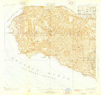
1928 · San Pedro Hills
USGS Topo · 1:24,000
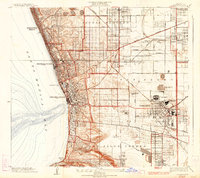
1934 · Torrance
USGS Topo · 1:24,000
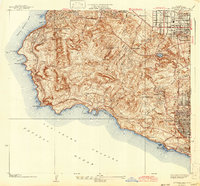
1942 · San Pedro Hill
USGS Topo · 1:24,000

1943 · San Pedro
USGS Topo · 1:125,000