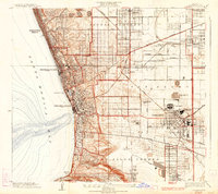
1934 Map of Torrance
USGS Topo · Published 1934About this map
Industrial expansion and coastal development define the South Bay landscape in this mid-1930s survey. The city of Torrance appears as a major manufacturing hub, dominated by large-scale facilities such as the Columbia Steel Corporation, the Union Tool Co, and the General Petroleum Tank Farm. This industrial core is connected to the Pacific coast by the extensive Pacific Electric railway network, which links inland settlements like Lomita and Gardena to the shoreline.
Find a feature on this map
42 named features on this map. Tap any name to fly to it.
Don’t see what you’re looking for? This feature index may not catch every label — zoom into the map to look around manually.
Map Details
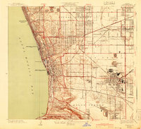
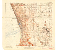
Editions of this 1934 Torrance Map
3 editions found
Other maps of this area

1896 · Redondo
USGS Topo · 1:62,500

1901 · Southern California Sheet No. 1
USGS Topo · 1:250,000

1904 · Southern California Sheet No. 1
USGS Topo · 1:250,000
1923 · Venice
USGS Topo · 1:24,000

1923 · Wilmington
USGS Topo · 1:24,000
1923 · Watts
USGS Topo · 1:24,000
1924 · Inglewood
USGS Topo · 1:24,000

1924 · Torrance
USGS Topo · 1:24,000
1924 · Venice
USGS Topo · 1:24,000
1924 · Compton
USGS Topo · 1:24,000