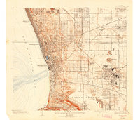
1934 Map of Torrance
USGS Topo · Published 1942About this map
Torrance stands as an industrial hub on this Southern California coastal plain, defined by a dense grid of heavy manufacturing and energy infrastructure. The landscape is marked by the massive Pacific Electric Car Shops and the Columbia Steel Corporation, reflecting the area's mid-century economic engine. In the southeast, the Union Oil Tank Farm and General Petroleum Tank Farm illustrate the region's historical ties to the petroleum industry, while the Pacific Electric railroad lines provide the vital transit link between these industrial zones and the residential coastal strips of Manhattan Beach, Hermosa Beach, and Redondo Beach. To the south, the terrain rises sharply into the Palos Verdes Hills near Malaga Cove, showing the early footprint of Palos Verdes Estates before the post-war suburban boom transformed the surrounding open land.
Find a feature on this map
47 named features on this map. Tap any name to fly to it.
Don’t see what you’re looking for? This feature index may not catch every label — zoom into the map to look around manually.
Map Details
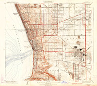
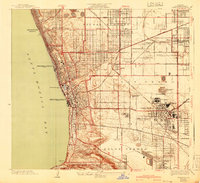
Editions of this 1934 Torrance Map
3 editions found
Other maps of this area

1896 · Redondo
USGS Topo · 1:62,500

1901 · Southern California Sheet No. 1
USGS Topo · 1:250,000

1904 · Southern California Sheet No. 1
USGS Topo · 1:250,000
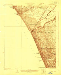
1923 · Venice
USGS Topo · 1:24,000

1923 · Wilmington
USGS Topo · 1:24,000
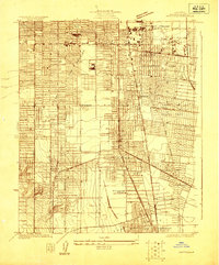
1923 · Watts
USGS Topo · 1:24,000
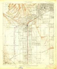
1924 · Inglewood
USGS Topo · 1:24,000

1924 · Torrance
USGS Topo · 1:24,000
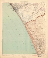
1924 · Venice
USGS Topo · 1:24,000
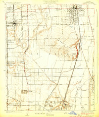
1924 · Compton
USGS Topo · 1:24,000