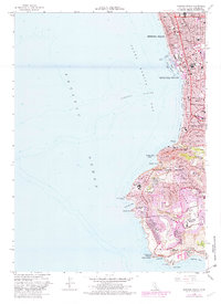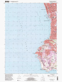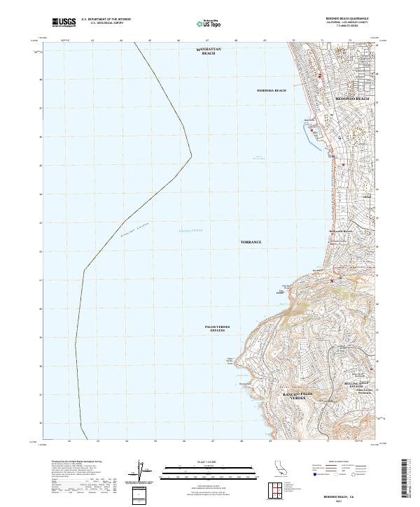
2021 Map of Redondo Beach
USGS Topo · Published 2021About this map
Manhattan Beach, Hermosa Beach, and Redondo Beach form a continuous urban coastal corridor along the eastern edge of Santa Monica Bay. The landscape transitions from the dense street grids of the beach cities to the high-relief terrain of the Palos Verdes Peninsula, where steep coastal bluffs meet the Pacific. This area is characterized by a complex network of recreational paths, notably The Strand (Marvin Braude Bike Trail), which navigates the shoreline from Redondo Beach northward.
Find a feature on this map
44 named features on this map. Tap any name to fly to it.
Don’t see what you’re looking for? This feature index may not catch every label — zoom into the map to look around manually.
Map Details
Editions of this 2021 Redondo Beach Map
This is the sole edition of this map. No revisions or reprints were ever made.
Historical Maps of Palos Verdes Estates Through Time
4 maps found