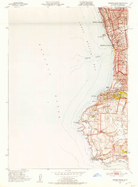
1951 Map of Redondo Beach
USGS Topo · Published 1953About this map
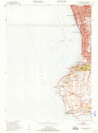
Redondo Beach and Hermosa Beach define the coastline of this early 1950s Los Angeles County survey, showing a landscape rapidly transitioning from coastal resort to established suburban community. The dense grid of the beach towns gives way to the burgeoning Hollywood Riviera and the planned developments around the Palo Verdes Country Club. Along the shore, industrial activity is marked by a Power Plant and Intake Towers, while the community’s social life is anchored by institutions like Sea Hawk Stadium and numerous neighborhood schools including Beryl Hts Sch and Central Sch.
Find a feature on this map
67 named features on this map. Tap any name to fly to it.
Don’t see what you’re looking for? This feature index may not catch every label — zoom into the map to look around manually.
Map Details
Editions of this 1951 Redondo Beach Map
2 editions found
Other maps of this area

1896 · Redondo
USGS Topo · 1:62,500

1896 · San Pedro
USGS Topo · 1:62,500

1901 · Southern California Sheet No. 1
USGS Topo · 1:250,000

1904 · Southern California Sheet No. 1
USGS Topo · 1:250,000

1924 · Torrance
USGS Topo · 1:24,000
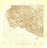
1925 · San Pedro Hills
USGS Topo · 1:24,000
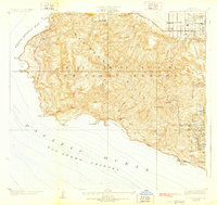
1928 · San Pedro Hills
USGS Topo · 1:24,000
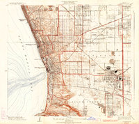
1934 · Torrance
USGS Topo · 1:24,000
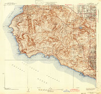
1942 · San Pedro Hill
USGS Topo · 1:24,000

1943 · San Pedro
USGS Topo · 1:125,000