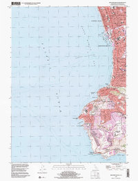
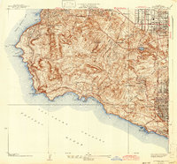
1996 Map of Redondo Beach
USGS Topo · Published 2000About this map
Redondo Beach and the coastal hills of the Palos Verdes Peninsula define this late-twentieth-century landscape. The map highlights the transition from the dense urban grid of Hermosa Beach and Clifton to the winding, topography-following residential roads of Palos Verdes Estates. Offshore, the depths of Redondo Canyon drop away into Santa Monica Bay, a stark contrast to the developed shoreline.
Find a feature on this map
46 named features on this map. Tap any name to fly to it.
Don’t see what you’re looking for? This feature index may not catch every label — zoom into the map to look around manually.
Map Details
Editions of this 1996 Redondo Beach Map
This is the sole edition of this map. No revisions or reprints were ever made.
Other maps of this area

1896 · Redondo
USGS Topo · 1:62,500

1896 · San Pedro
USGS Topo · 1:62,500

1901 · Southern California Sheet No. 1
USGS Topo · 1:250,000

1904 · Southern California Sheet No. 1
USGS Topo · 1:250,000

1924 · Torrance
USGS Topo · 1:24,000
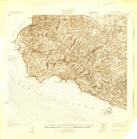
1925 · San Pedro Hills
USGS Topo · 1:24,000
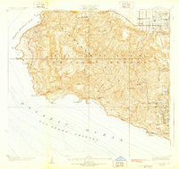
1928 · San Pedro Hills
USGS Topo · 1:24,000
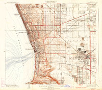
1934 · Torrance
USGS Topo · 1:24,000
1942 · San Pedro Hill
USGS Topo · 1:24,000

1943 · San Pedro
USGS Topo · 1:125,000