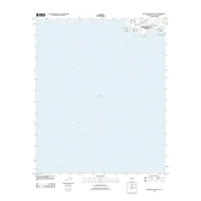
2012 Map of Redondo Beach OE S
USGS Topo · Published 2012About this map
Rancho Palos Verdes defines the coastal terrace on this 2012 survey, where the suburban streets of the Palos Verdes Peninsula meet the sharp cliffs of the Pacific Ocean. This coastal segment is characterized by prominent geographical landmarks and modern infrastructure, including the historic Point Vicente Lighthouse and the Point Vicente Fishing Access along the San Pedro Channel. The map documents a blend of residential development and natural preservation, tracing inland through Altamira Canyon and along the scenic curves of Palos Verdes Dr S. The peninsula's unique geology is evident in the configuration of Portuguese Point and the sheltered waters of Abalone Cove. This survey provides a precise record of coastal access points and established neighborhoods like Upper Beach during the early 21st century.
Find a feature on this map
16 named features on this map. Tap any name to fly to it.
Don’t see what you’re looking for? This feature index may not catch every label — zoom into the map to look around manually.
Map Details
Editions of this 2012 Redondo Beach OE S Map
This is the sole edition of this map. No revisions or reprints were ever made.
Other maps of this area

1896 · Redondo
USGS Topo · 1:62,500

1896 · San Pedro
USGS Topo · 1:62,500

1901 · Southern California Sheet No. 1
USGS Topo · 1:250,000

1904 · Southern California Sheet No. 1
USGS Topo · 1:250,000
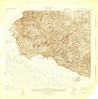
1925 · San Pedro Hills
USGS Topo · 1:24,000
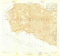
1928 · San Pedro Hills
USGS Topo · 1:24,000
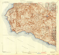
1942 · San Pedro Hill
USGS Topo · 1:24,000

1943 · San Pedro
USGS Topo · 1:125,000
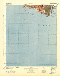
1944 · San Pedro
USGS Topo · 1:62,500
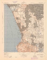
1944 · Redondo
USGS Topo · 1:62,500