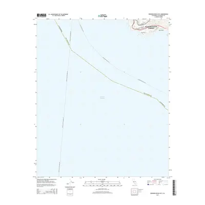
2015 Map of Redondo Beach OE S
USGS Topo · Published 2015About this map
The coastal headlands of Rancho Palos Verdes dominate the northeast corner of this maritime-focused survey, where the terrestrial landscape meets the Pacific Ocean. This high-ground vantage is home to the Salvation Army Crestmont College and a network of residential thoroughfares including Hawthorne Blvd and Palos Verdes Dr W. Below the bluffs, the terrain drops to Upper Beach near Terrenea Way, marking the transition from the peninsula's developed heights to the shore.
Find a feature on this map
14 named features on this map. Tap any name to fly to it.
Don’t see what you’re looking for? This feature index may not catch every label — zoom into the map to look around manually.
Map Details
Editions of this 2015 Redondo Beach OE S Map
This is the sole edition of this map. No revisions or reprints were ever made.
Other maps of this area

1896 · Redondo
USGS Topo · 1:62,500

1896 · San Pedro
USGS Topo · 1:62,500

1901 · Southern California Sheet No. 1
USGS Topo · 1:250,000

1904 · Southern California Sheet No. 1
USGS Topo · 1:250,000
1925 · San Pedro Hills
USGS Topo · 1:24,000
1928 · San Pedro Hills
USGS Topo · 1:24,000
1942 · San Pedro Hill
USGS Topo · 1:24,000

1943 · San Pedro
USGS Topo · 1:125,000
1944 · San Pedro
USGS Topo · 1:62,500
1944 · Redondo
USGS Topo · 1:62,500