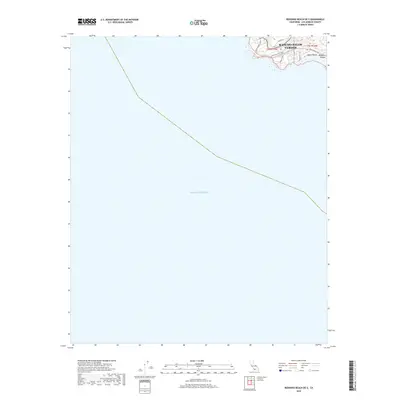
2018 Map of Redondo Beach OE S
USGS Topo · Published 2018About this map
Rancho Palos Verdes occupies the northern coastal edge of this maritime-focused survey, where the land drops away into the Pacific Ocean. The geography is defined by its coastal access and residential planning, featuring local roads like Vallon Dr and Seagate Dr that navigate the bluffs. A notable landmark of modern development is the coastal resort area near Terranea Way, situated on a prominent point overlooking the water.
Find a feature on this map
12 named features on this map. Tap any name to fly to it.
Don’t see what you’re looking for? This feature index may not catch every label — zoom into the map to look around manually.
Map Details
Editions of this 2018 Redondo Beach OE S Map
This is the sole edition of this map. No revisions or reprints were ever made.
Other maps of this area

1896 · Redondo
USGS Topo · 1:62,500

1896 · San Pedro
USGS Topo · 1:62,500

1901 · Southern California Sheet No. 1
USGS Topo · 1:250,000

1904 · Southern California Sheet No. 1
USGS Topo · 1:250,000
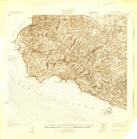
1925 · San Pedro Hills
USGS Topo · 1:24,000
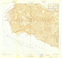
1928 · San Pedro Hills
USGS Topo · 1:24,000
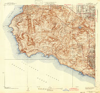
1942 · San Pedro Hill
USGS Topo · 1:24,000

1943 · San Pedro
USGS Topo · 1:125,000
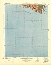
1944 · San Pedro
USGS Topo · 1:62,500
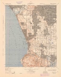
1944 · Redondo
USGS Topo · 1:62,500