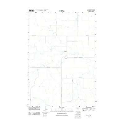
2012 Map of Redowl
USGS Topo · Published 2012About this map
Redowl sits at the heart of this Meade County landscape, where the prairie is defined by a network of seasonal watercourses. The drainage patterns of Cherry Cr and Indian Cr converge near the settlement, illustrating the importance of water management in this agricultural region. Just south of the town site, Pleasant Valley Cem serves as a significant genealogical landmark for local families. The road network, including Old Stoneville Rd and Razorback Rd, follows the section lines typical of the Great Plains survey system, connecting remote farmsteads to the central hub at Redowl. To the north and south, the terrain is marked by the further reaches of Elm Cr, Spring Cr, and White Owl Cr, which carve subtle valleys through the open country.
Find a feature on this map
19 named features on this map. Tap any name to fly to it.
Don’t see what you’re looking for? This feature index may not catch every label — zoom into the map to look around manually.
Map Details
Editions of this 2012 Redowl Map
This is the sole edition of this map. No revisions or reprints were ever made.
Other maps of this area

1953 · Rapid City
USGS Topo · 1:250,000

1957 · Rapid City
USGS Topo · 1:250,000

1959 · Enning
USGS Topo · 1:24,000

1959 · Redowl
USGS Topo · 1:24,000

1959 · Stoneville
USGS Topo · 1:24,000

1959 · Union Center
USGS Topo · 1:24,000

1983 · Whiteman Owl NW
USGS Topo · 1:24,000

1983 · Opal West SE
USGS Topo · 1:24,000

1983 · Whiteman Owl
USGS Topo · 1:24,000

1983 · Opal East SW
USGS Topo · 1:24,000