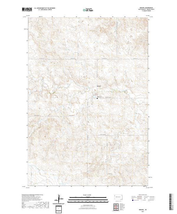
2021 Map of Redowl
USGS Topo · Published 2021About this map
Redowl serves as a central point in this rural Meade County landscape, where the geography is defined by a dendritic network of creek beds. Waterways including Red Owl Cr, Elm Cr, and Spring Cr carve through the terrain, dictating the placement of ranch roads and section boundaries. The map provides specific detail for local history and genealogy, notably marking the Pleasant View Red Owl Cem located just south of the main settlement. Transportation is anchored by a grid of numbered and named routes such as Red Owl Rd and Indian Creek Rd, which connect remote homesteads across the townships of T9N and T8N. The naming conventions of the water bodies, including White Owl Cr and Indian Cr, reflect the regional identity of this portion of the South Dakota plains.
Find a feature on this map
20 named features on this map. Tap any name to fly to it.
Don’t see what you’re looking for? This feature index may not catch every label — zoom into the map to look around manually.
Map Details
Editions of this 2021 Redowl Map
This is the sole edition of this map. No revisions or reprints were ever made.
Other maps of this area

1953 · Rapid City
USGS Topo · 1:250,000

1957 · Rapid City
USGS Topo · 1:250,000

1959 · Enning
USGS Topo · 1:24,000

1959 · Redowl
USGS Topo · 1:24,000

1959 · Stoneville
USGS Topo · 1:24,000

1959 · Union Center
USGS Topo · 1:24,000

1983 · Whiteman Owl NW
USGS Topo · 1:24,000

1983 · Opal West SE
USGS Topo · 1:24,000

1983 · Whiteman Owl
USGS Topo · 1:24,000

1983 · Opal East SW
USGS Topo · 1:24,000