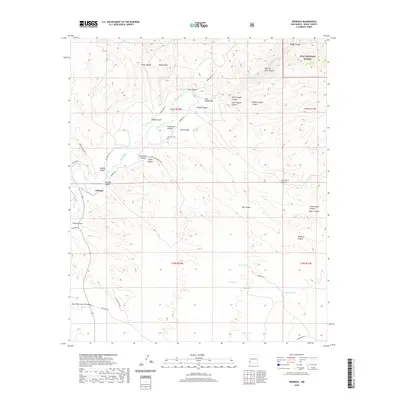
2020 Map of Redrock
USGS Topo · Published 2020About this map
Redrock serves as the focal point of this southwestern landscape, situated along the Gila River as it passes through the Gila Middle Box. The settlement is surrounded by a complex network of drainage systems, including the evocatively named Graveyard Canyon, Starvation Canyon, and Skating Rink Canyon. To the northeast, the terrain rises into the Gila National Forest, anchored by Lydian Peak. Local infrastructure is defined by a system of rural ranch roads like Red Rock Rd and Game Dept Rd, which connect isolated water features such as CCC Tank and Tyrone Tank. The inclusion of the Redrock Cem provides a critical point of reference for genealogists tracking early families in this part of Grant County. The map captures a landscape defined by its riparian corridor and the rugged canyons that feed into the Gila, reflecting the enduring ranching and land-management patterns of the region.
Find a feature on this map
49 named features on this map. Tap any name to fly to it.
Don’t see what you’re looking for? This feature index may not catch every label — zoom into the map to look around manually.
Map Details
Editions of this 2020 Redrock Map
This is the sole edition of this map. No revisions or reprints were ever made.
Other maps of this area

1954 · Silver City
USGS Topo · 1:250,000
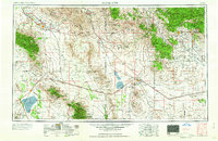
1958 · Silver City
USGS Topo · 1:250,000
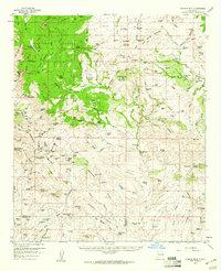
1959 · Steeple Rock
USGS Topo · 1:62,500
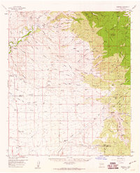
1959 · Redrock
USGS Topo · 1:62,500
1959 · Canador Peak
USGS Topo · 1:62,500
1959 · Cliff
USGS Topo · 1:62,500
1962 · Silver City
USGS Topo · 1:250,000
1990 · Willow Draw
USGS Topo · 1:24,000
1990 · Eagle Eye Peak
USGS Topo · 1:24,000
1990 · Bullard Peak
USGS Topo · 1:24,000